Historical Goat River Trail Hike – August
long weekend 2004
I first heard about this hike from my niece
Rachael a couple of years ago when her family (my brother Bob) canoed the
Bowron Lake Circuit. I had canoed the circuit with Bob back in 1975 and I remembered
the Caribou Mountains as trees, clear water and wild rivers. The hike would end
up combining all these aspects.
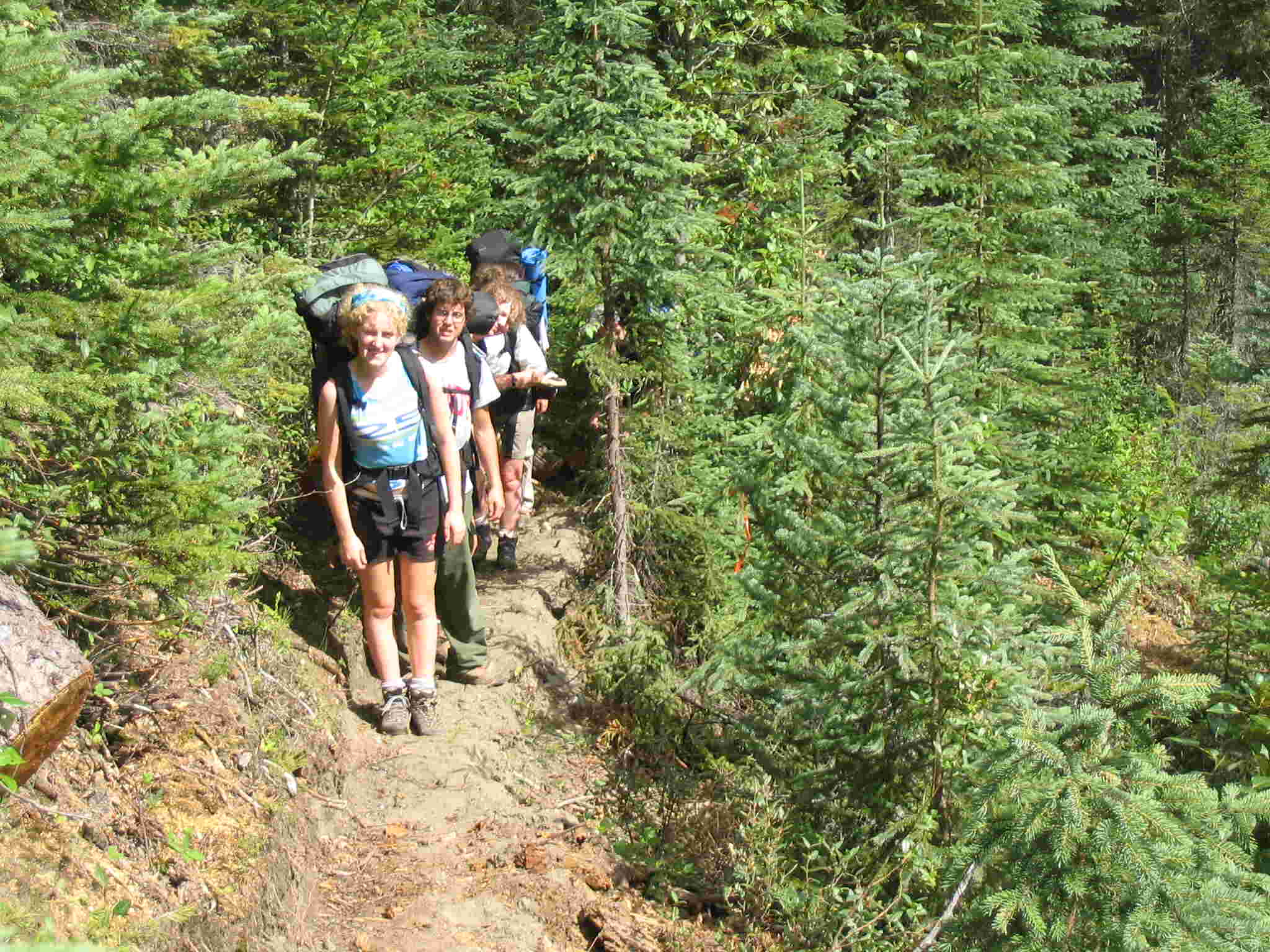
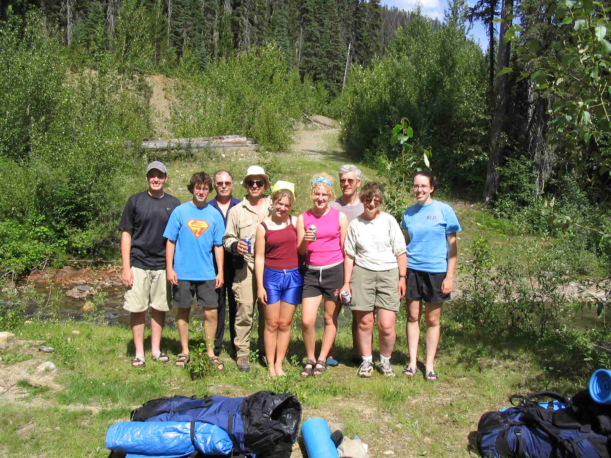
The group comprised of 4 hikers from Prince
George and 5 hikers from Calgary. The Prince George group was my sister-in-law
Bev, niece’s Rachael and Elizabeth and their family friend Ben. My brother Bob
was supposed to hike the trip but had an argument with a wheelbarrow a couple
of week's prior and cracked some ribs. The Calgary group was myself, Barrie,
John and his daughter Heather and son Andrew. The adults are all around 50
years old and the kids ranged from 17 to 22. All are fairly experienced
backpackers having done trips like Mt. Robson’s Berg Lake, Jasper’s Skyline
trail, Kootenay’s Rock Wall and Banff’s Eygpt Lakes over the last 5 years.
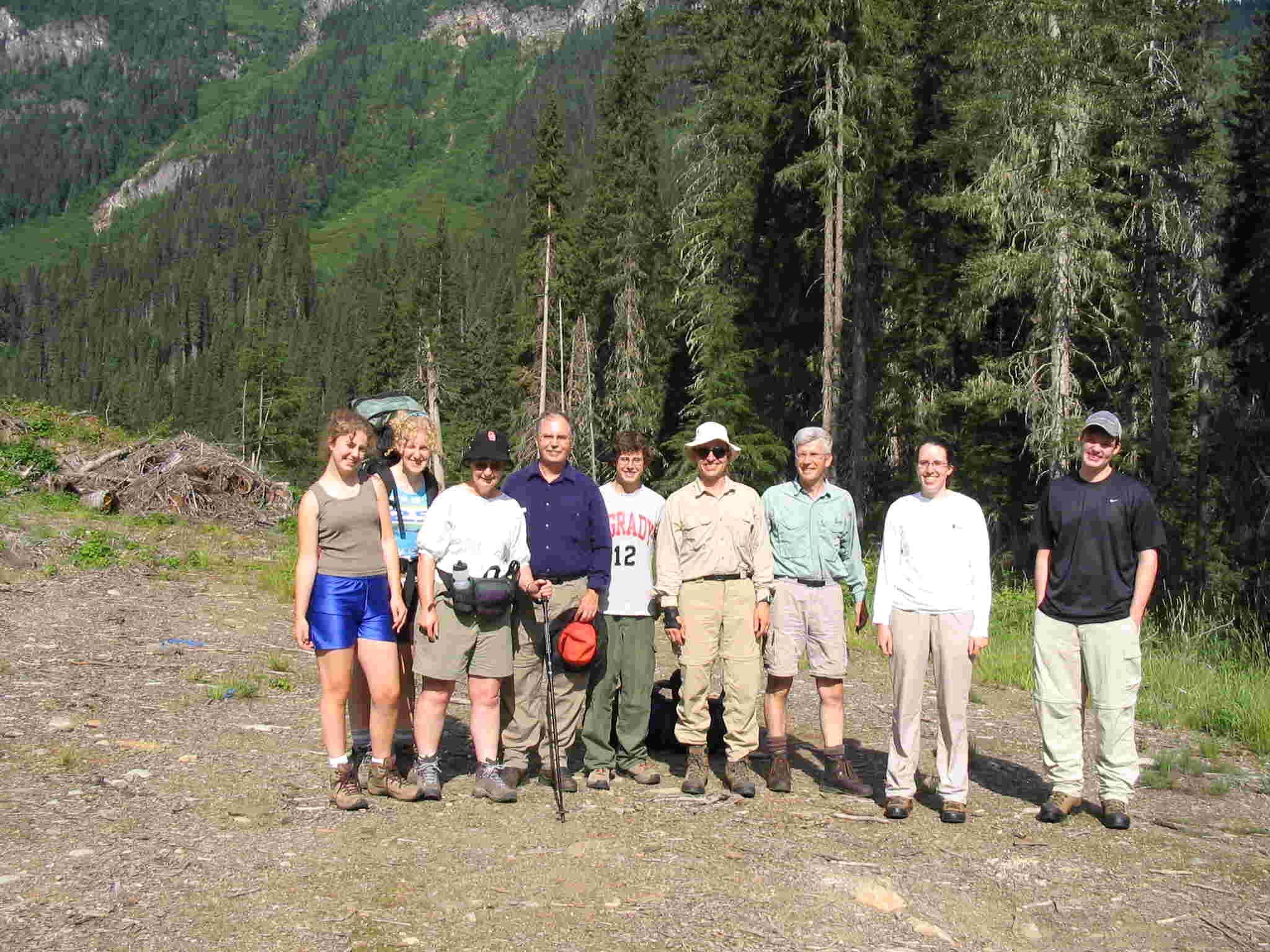
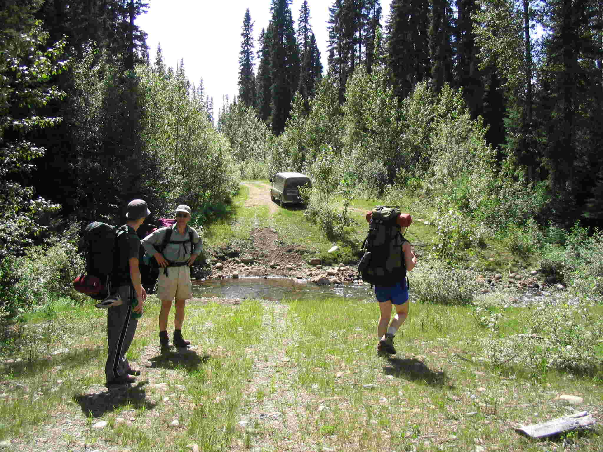
We meet at the Goat River Forest Service
road entrance on Hwy 16 the morning of July 29th. We then drove up
the service road past the Milk River bridge and to the end of the logging road.
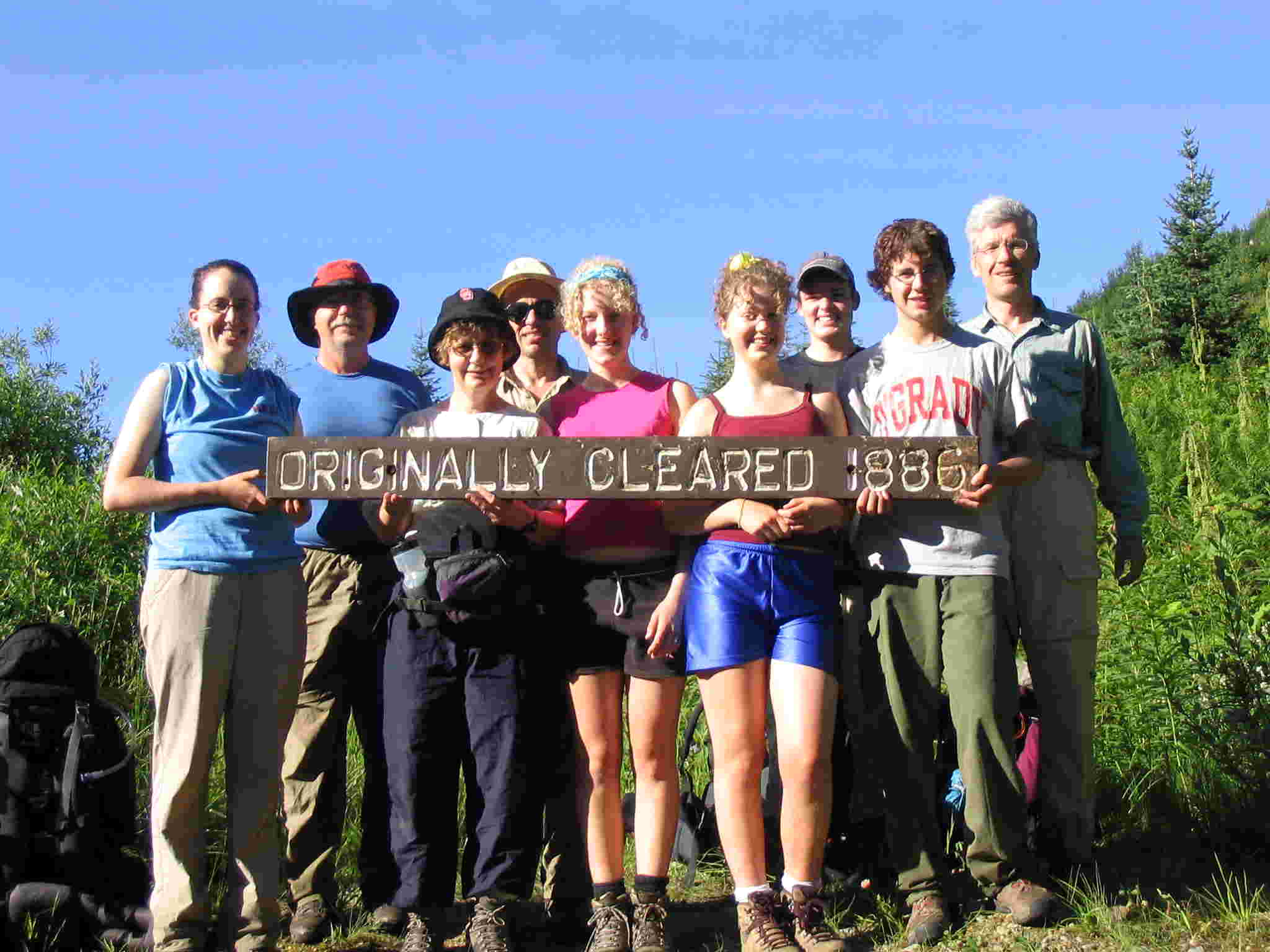
Packs were organized and pictures were taken.
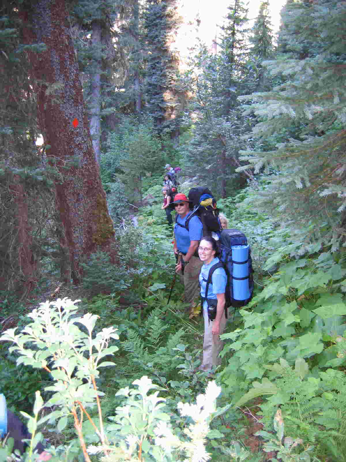
The hike began under clear skies and with a good long-range weather forecast.
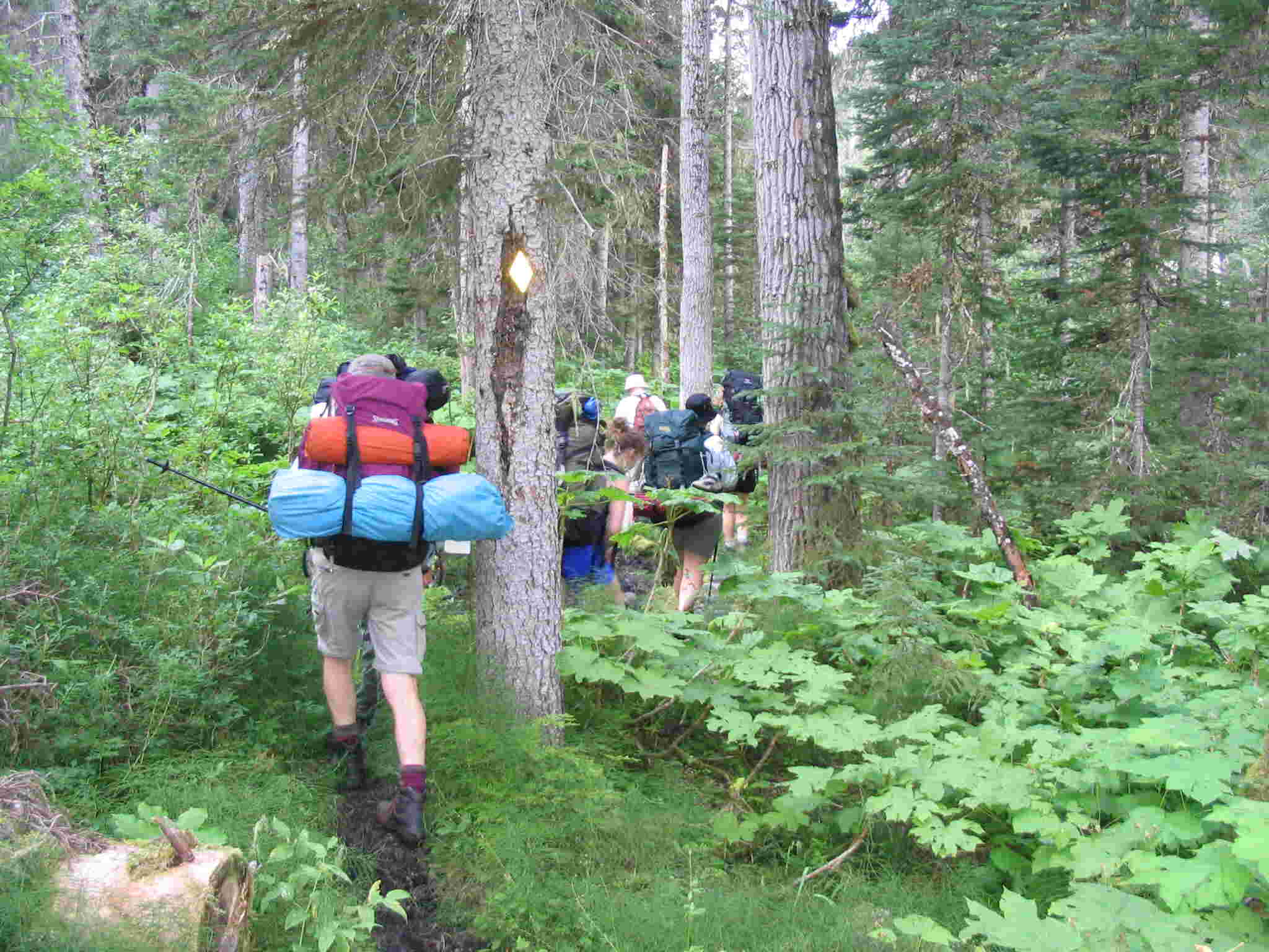
The trail drops to the river over the next couple of kilometres over a generally mudding trail. There were
boardwalks in place over the worst areas. These boardwalks are covered with
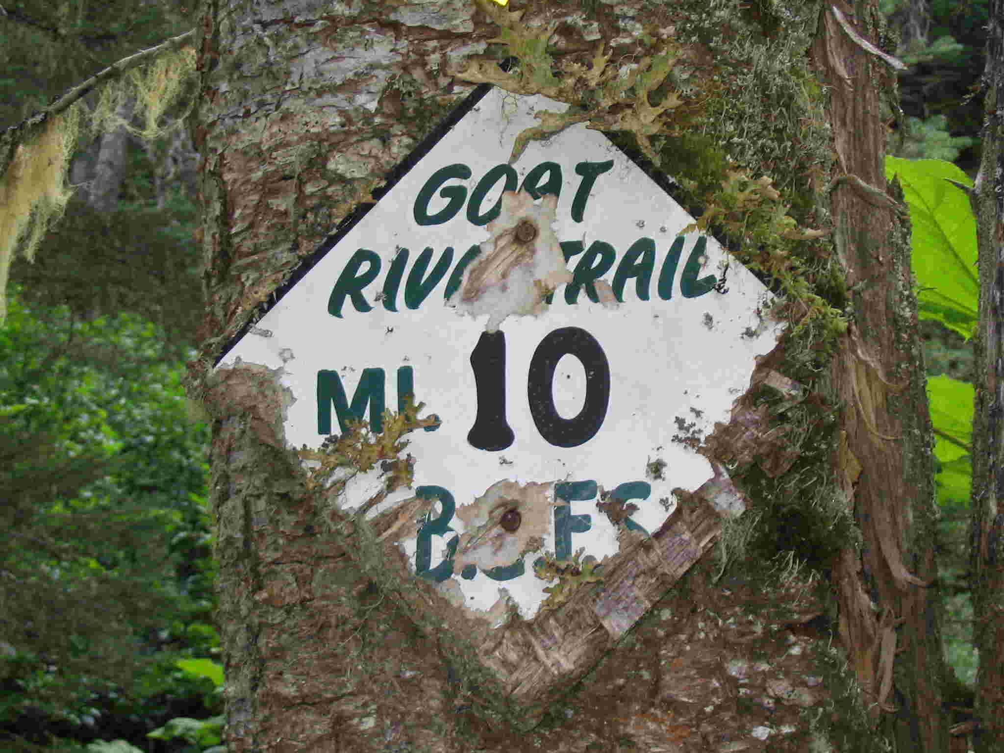
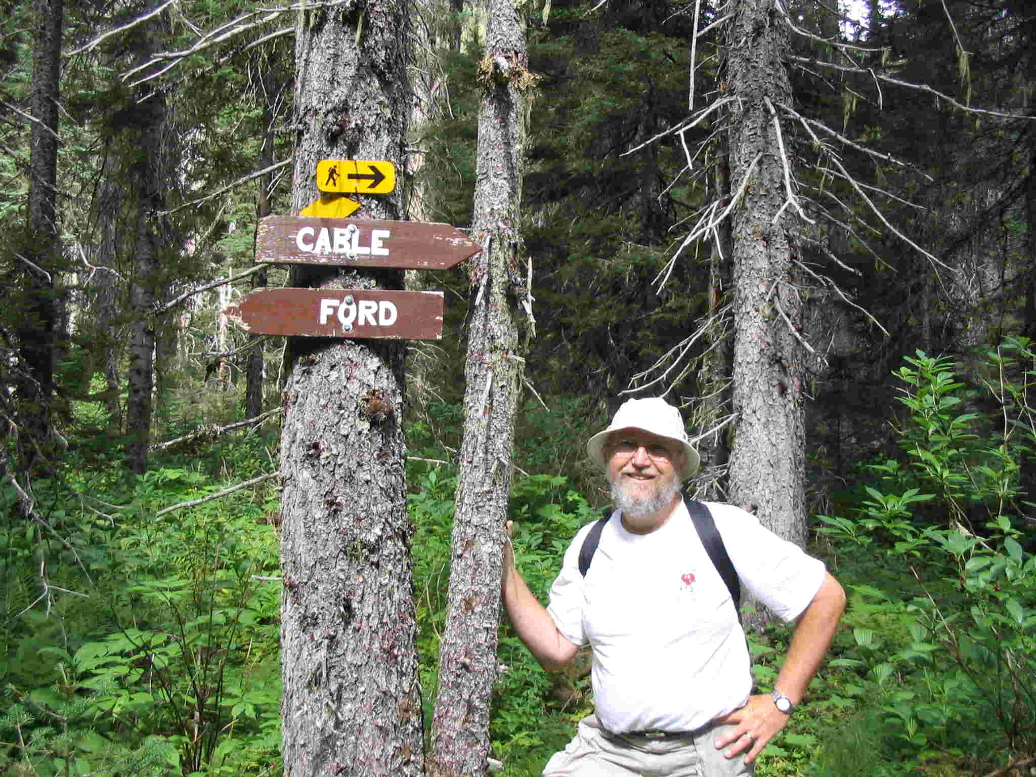
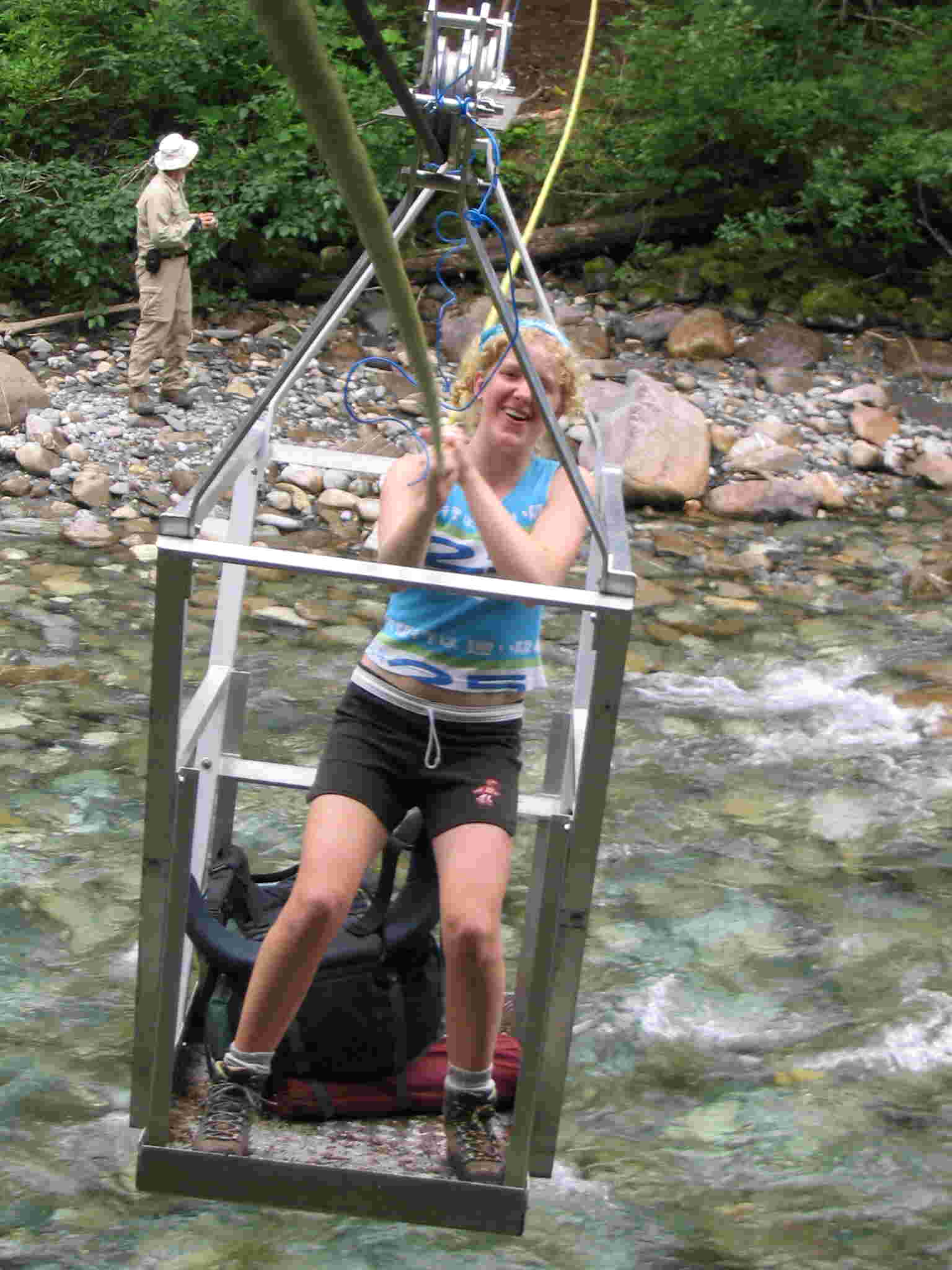
chicken wire and asphalt singles. The footing was surprisingly good. The trail continued by the river passing the 10-mile marker from the BCFS. The marking
for the cable car was clear and soon we were crossing over to the other side. This is as
far as Bob was going with just a daypack so we waved goodbye to him. We then
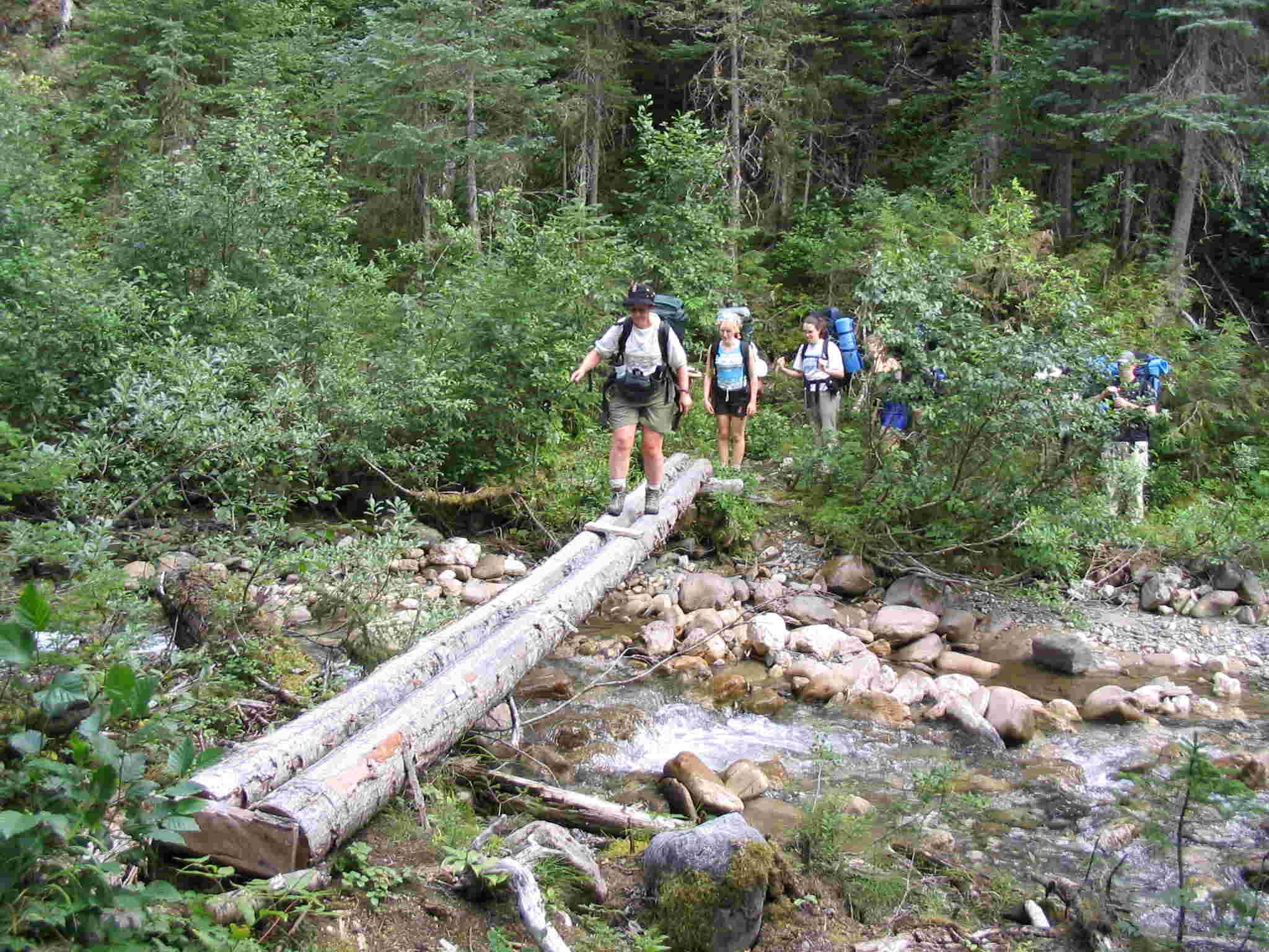
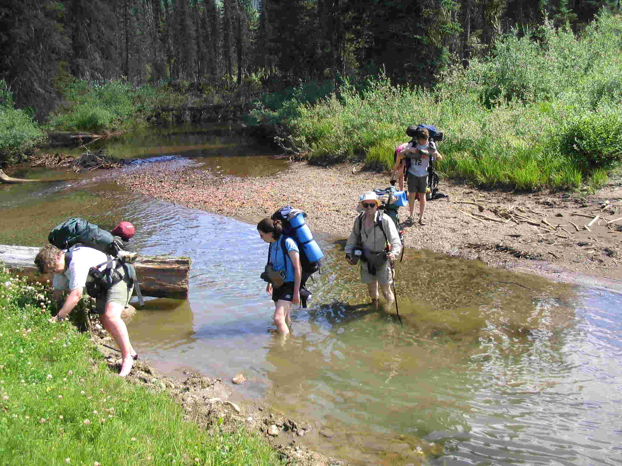
continued to the White Horse Creek ford where we crossed on a nice convenient log
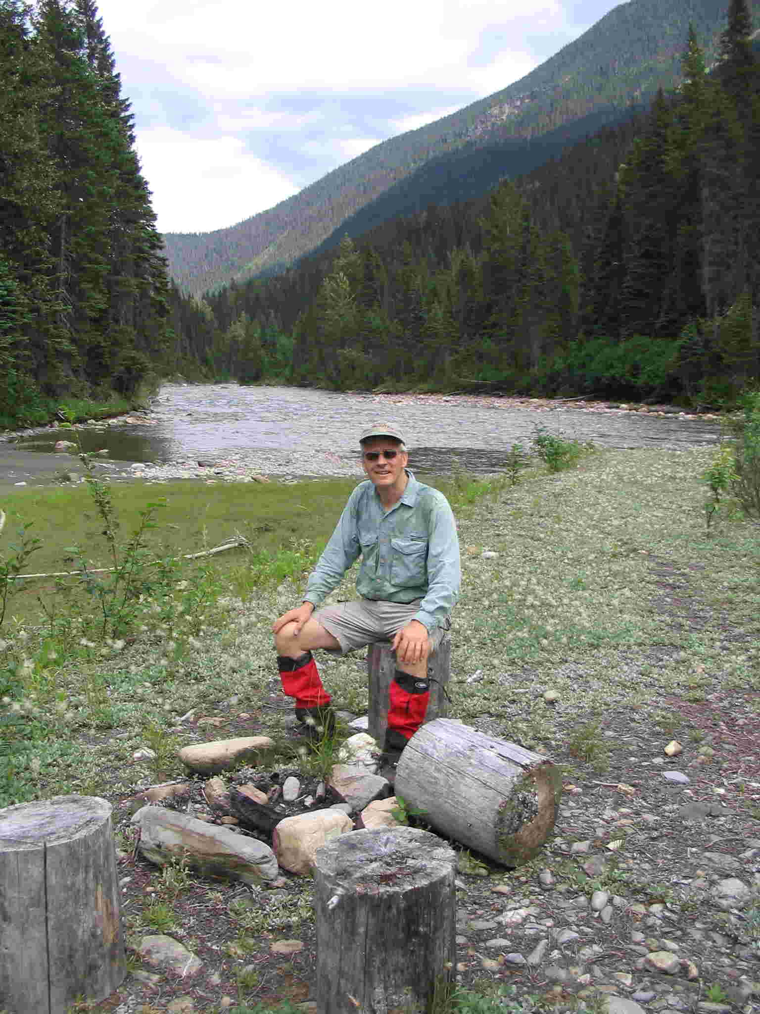
bridge. At the first camp spot, we took a break and explored the gravel
bar. There was a place for a fire
and eating as well as a place for the tents. It was one of the nicer camp spots
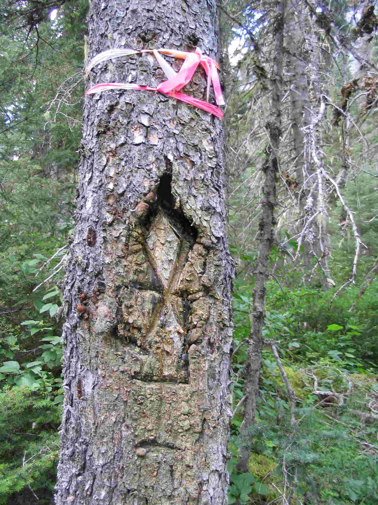
but not for us tonight. The trail then continued along past the Fleur-de-Lys tree and onto the
Northstar confluence. We took the newly
constructed bypass trail even though the water level was down and were rewarded
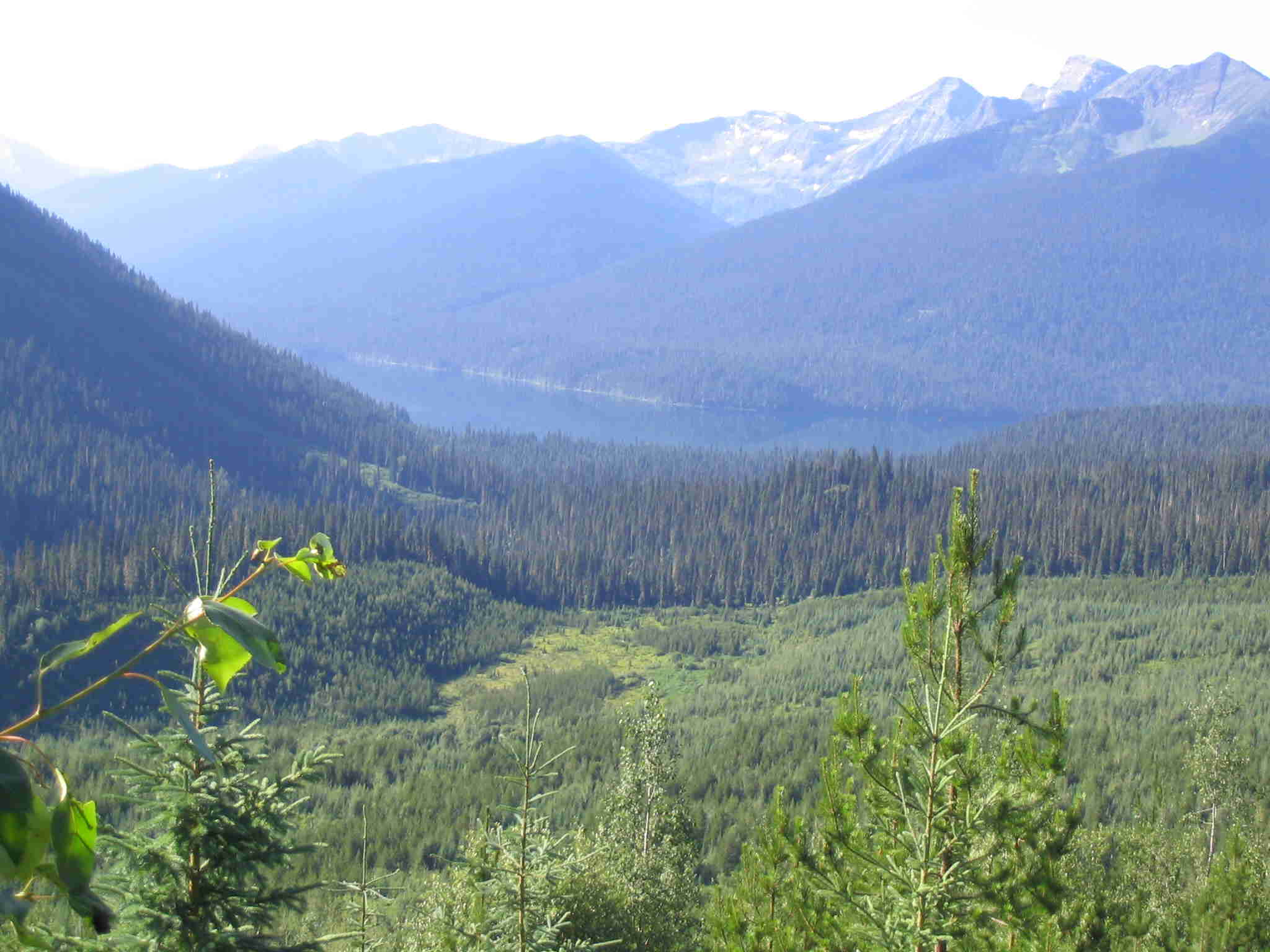
with a nice view of the Northstar valley
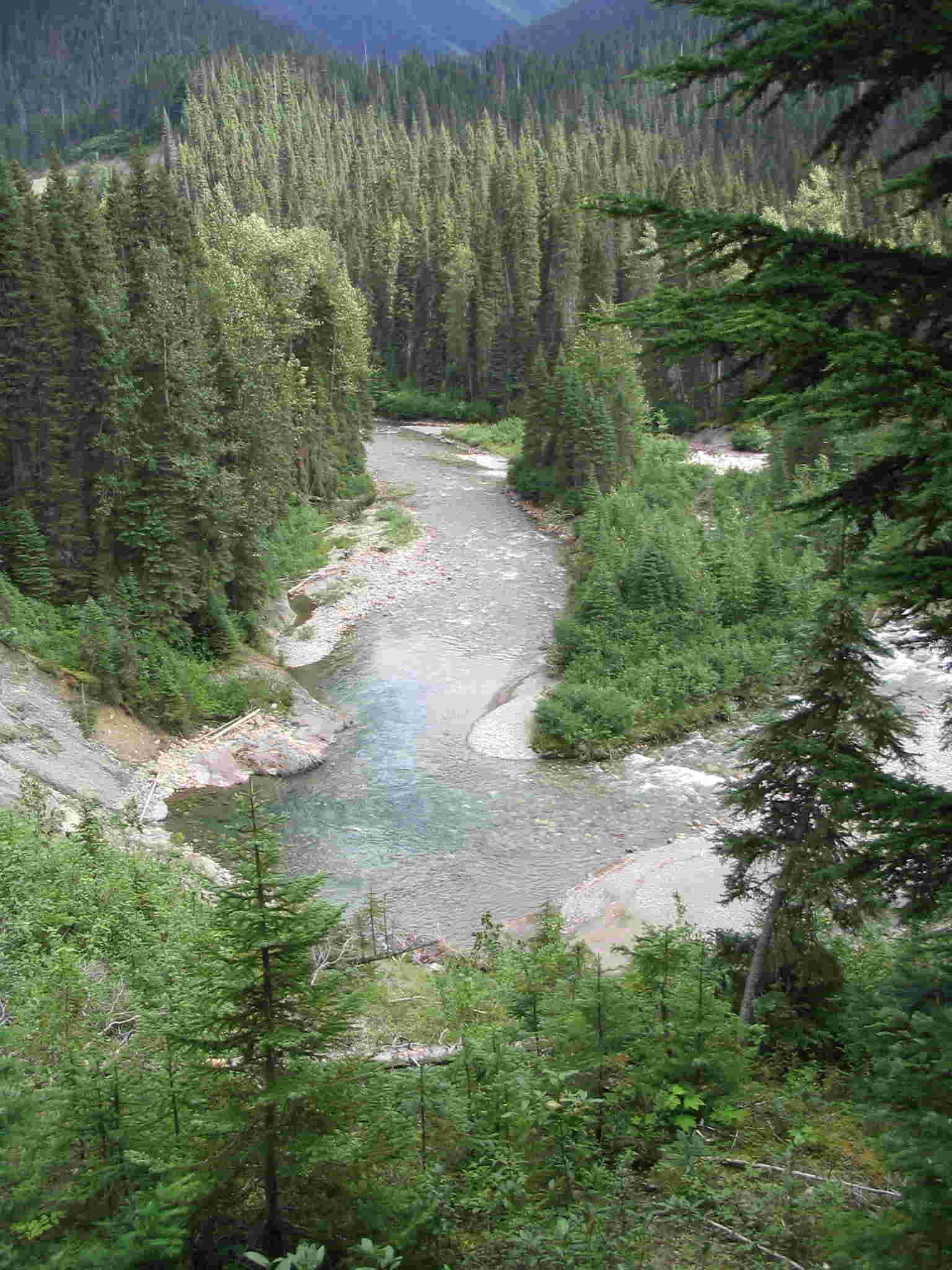
and esker as well as the view looking down at the big
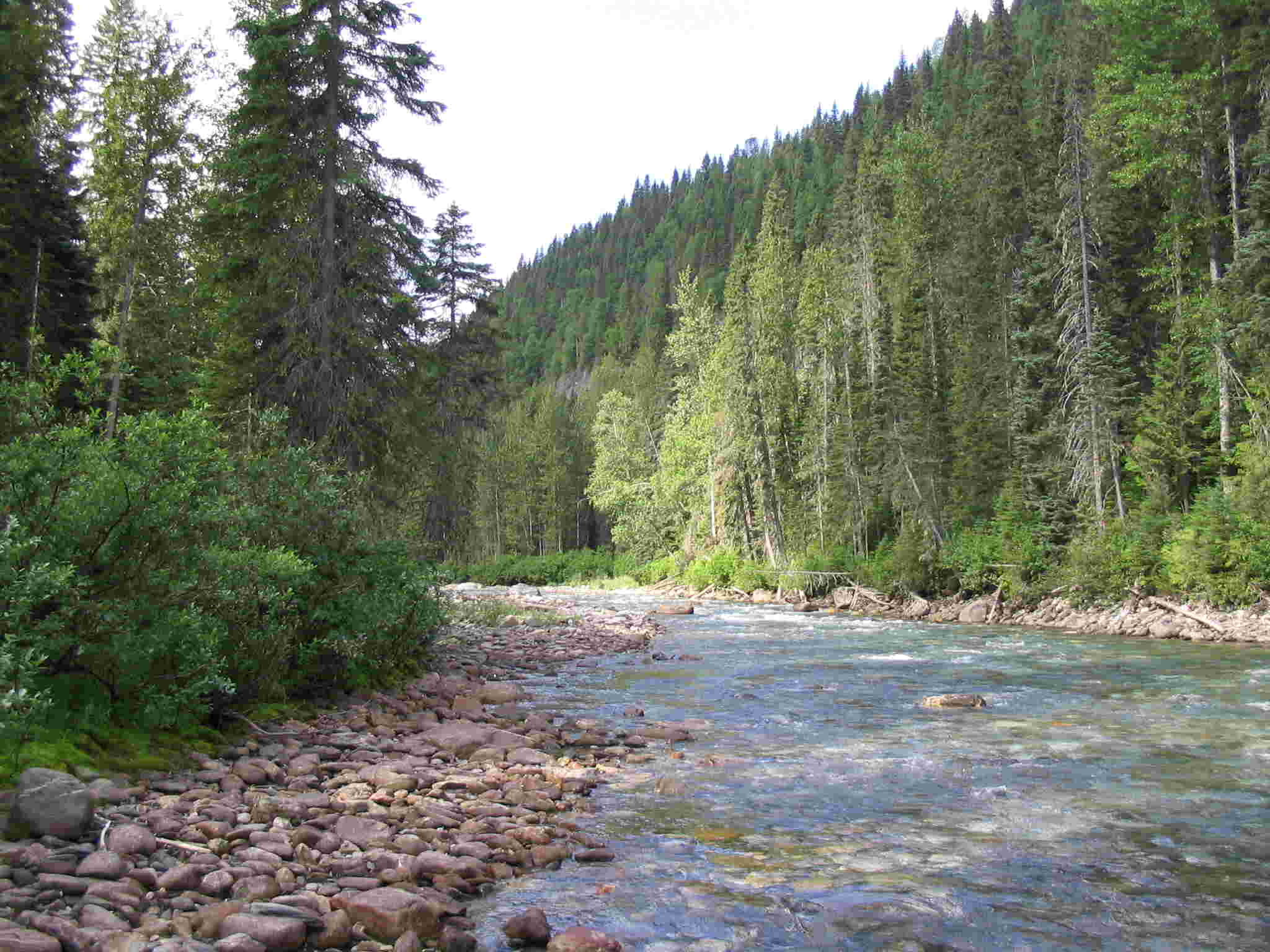
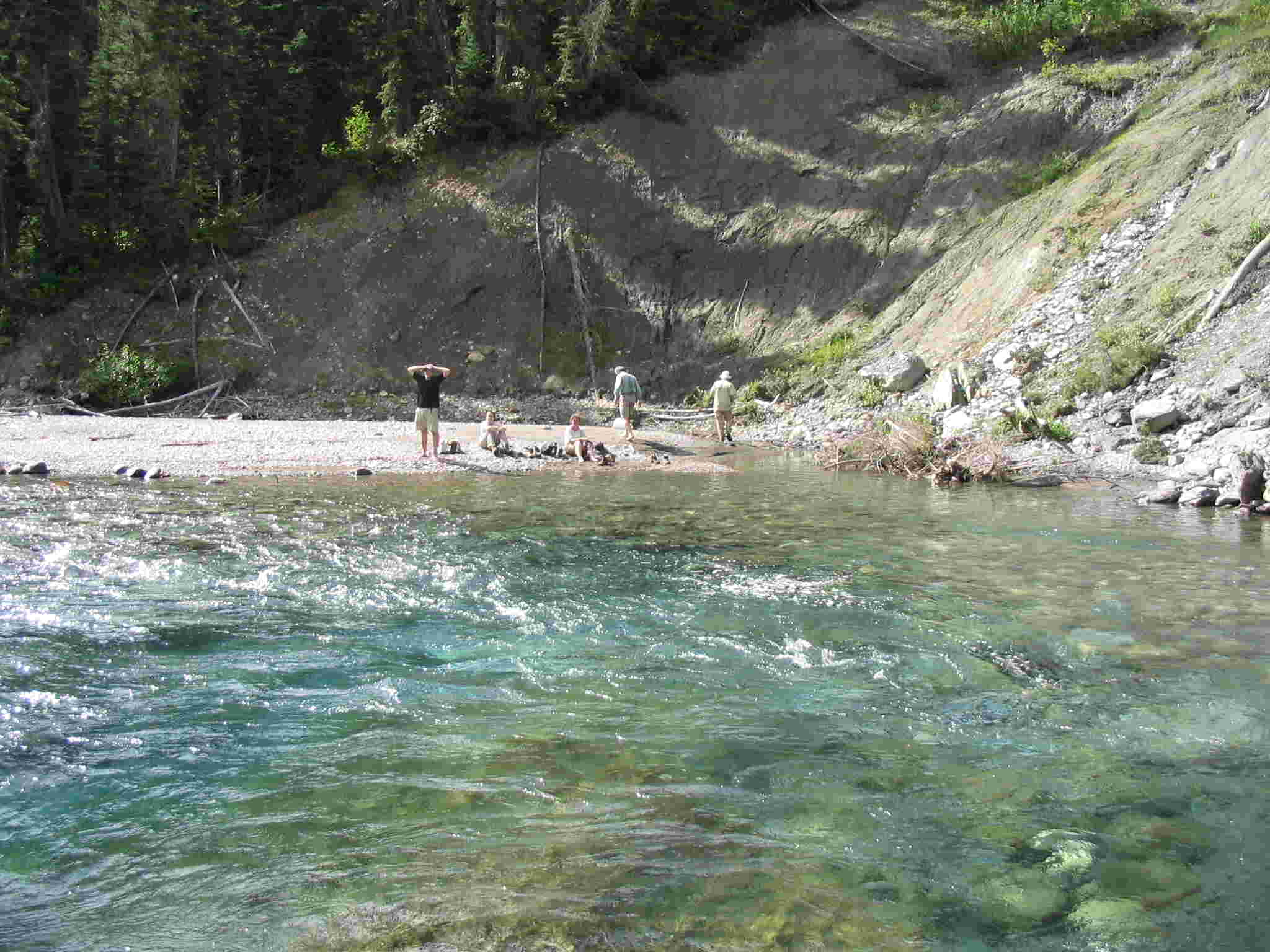
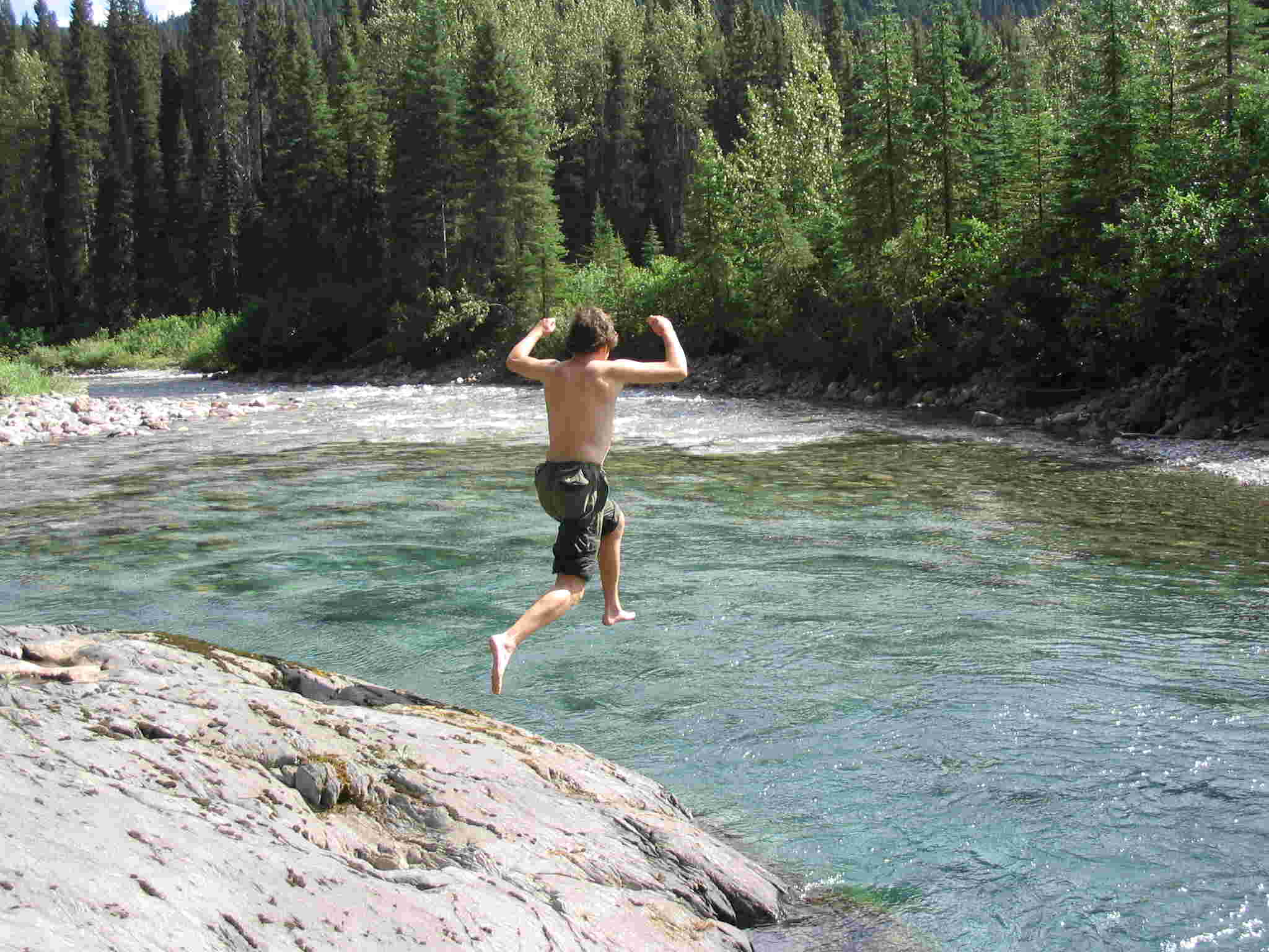
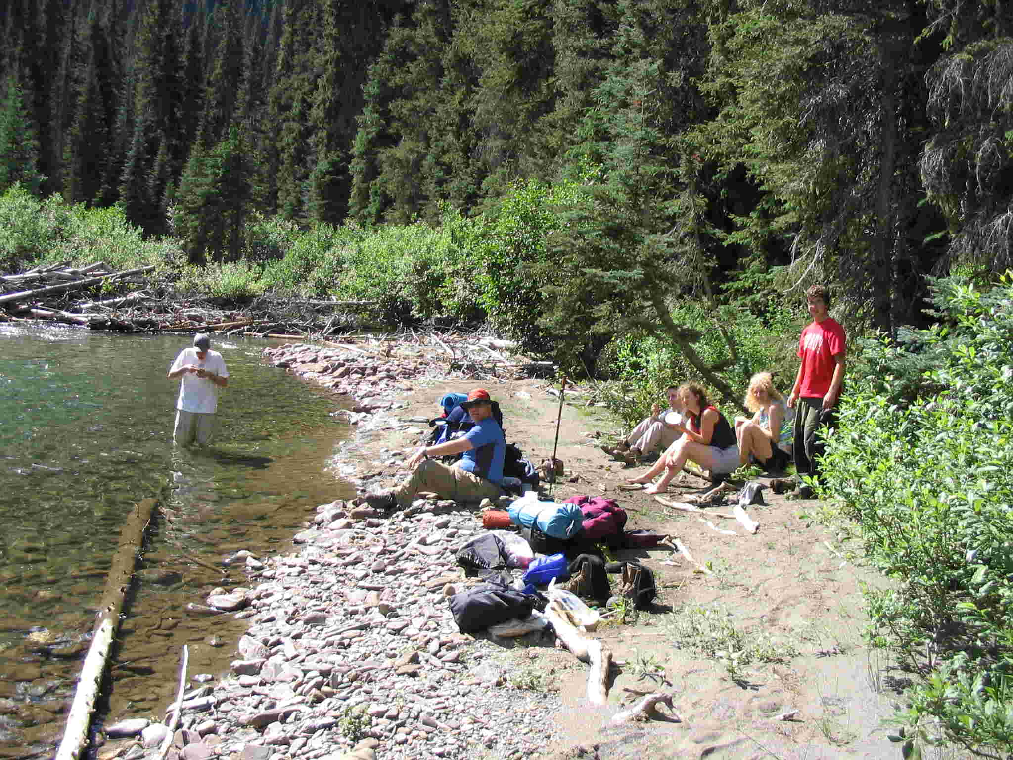
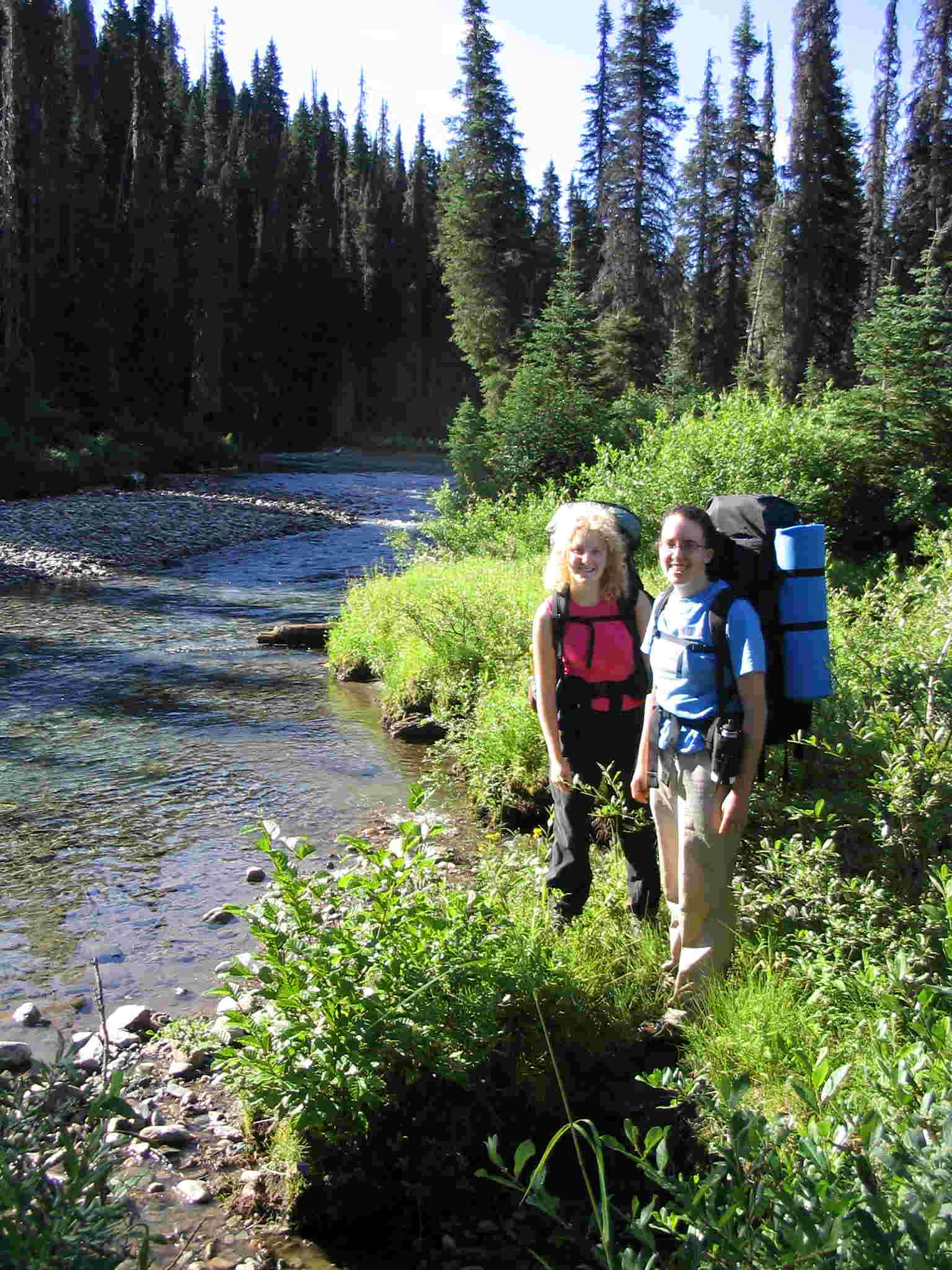
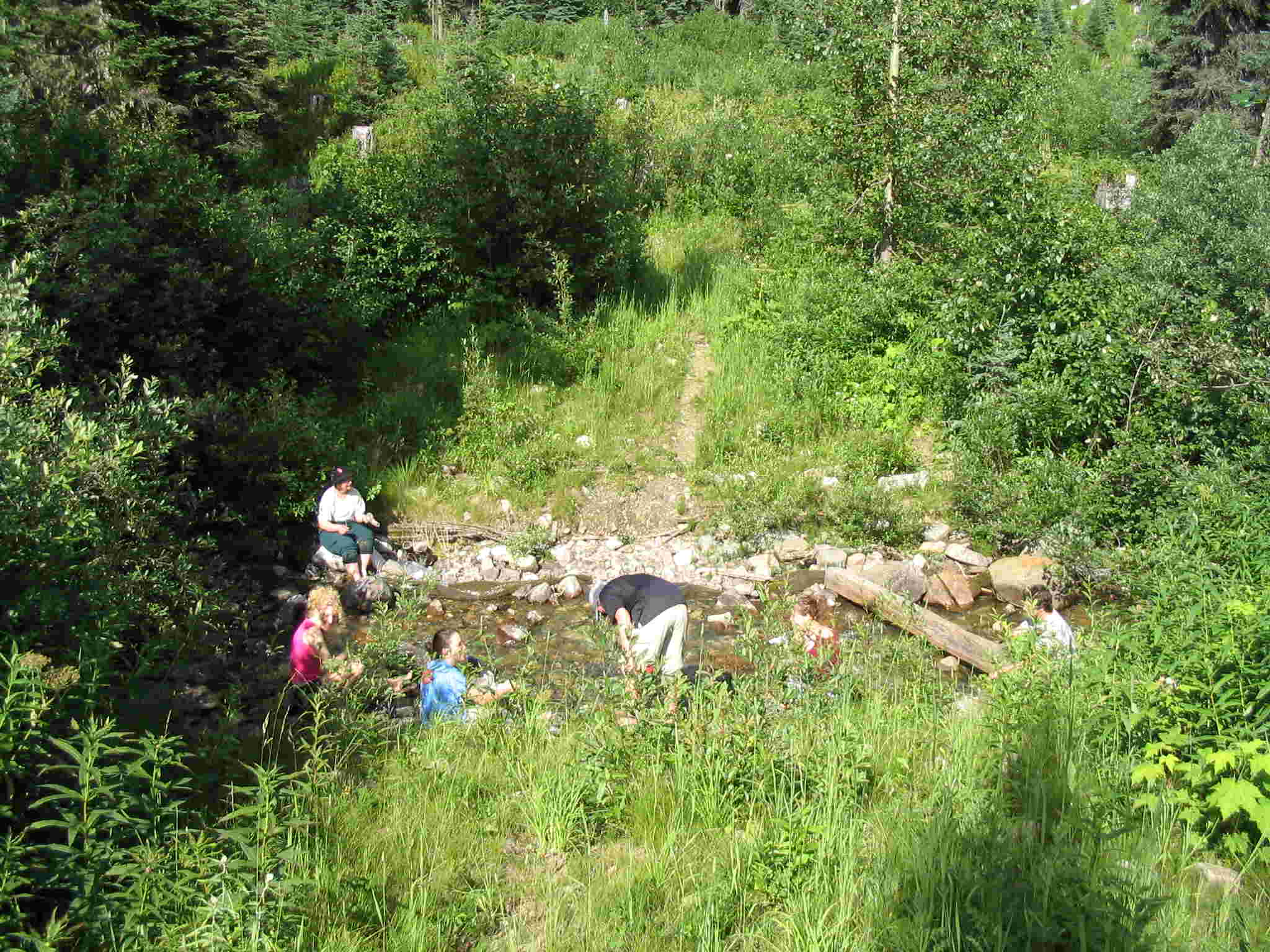
bend of the Goat river. Down at the Goat, we stopped at the gravel bar for a rest and some soaking
in the river. Ben, Rachael and Elizabeth all jumped into the deep pool by the
big rock (got a picture of Ben but the girls
were shy). The rest of the afternoon
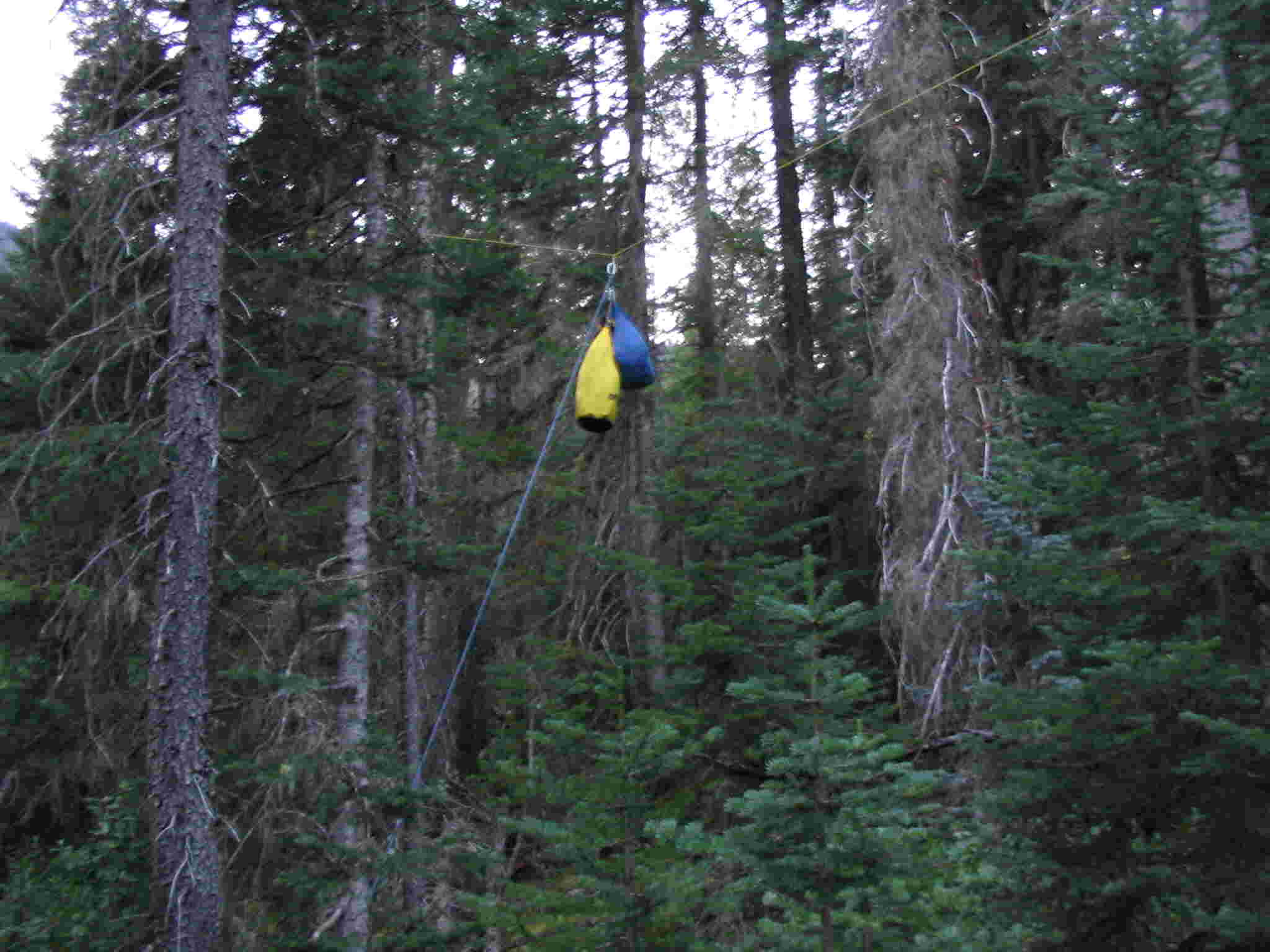
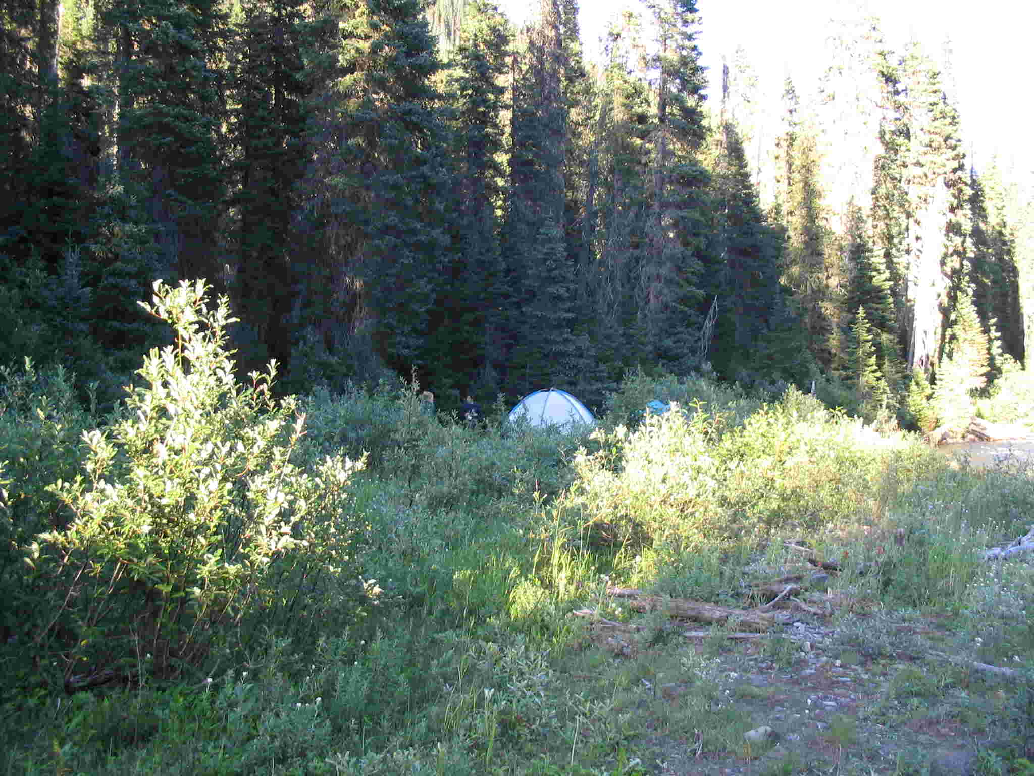
was spent hiking to the Riverbank camp spot. There we pitched the tents, had
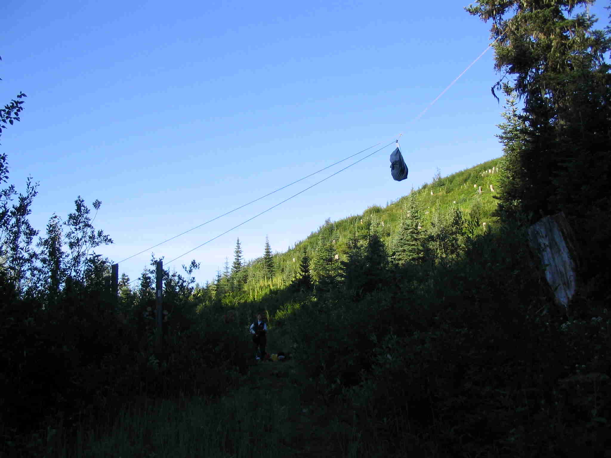
supper, hung the food cache and
had a campfire. A rousing game of cards
was played in the big tent prior to bedding down for the night.
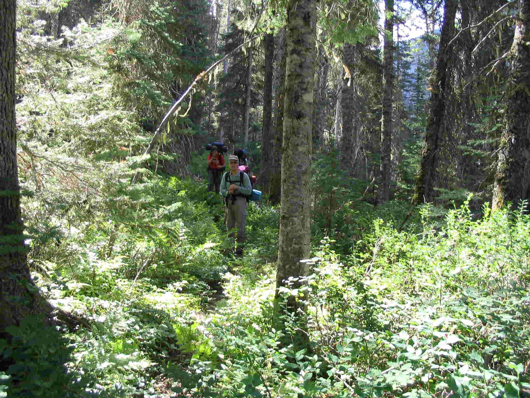
Day 2 saw us hiking along the bench above
the river for a couple of kilometres. The trail maintenance had ended and the
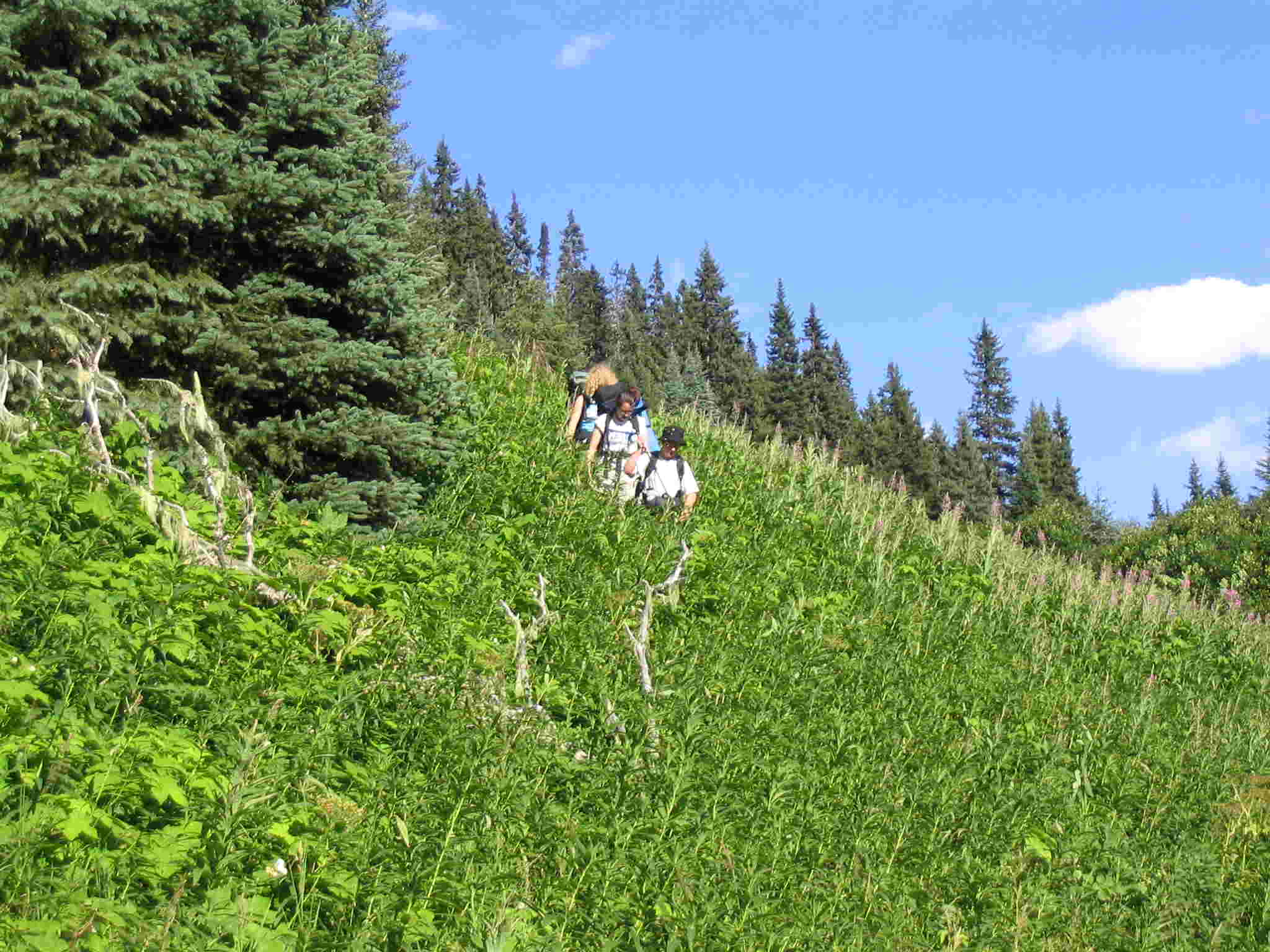
going was a little more difficult. Stretches of
the trail were fairly overgrown and we had to go around some deadfall. We
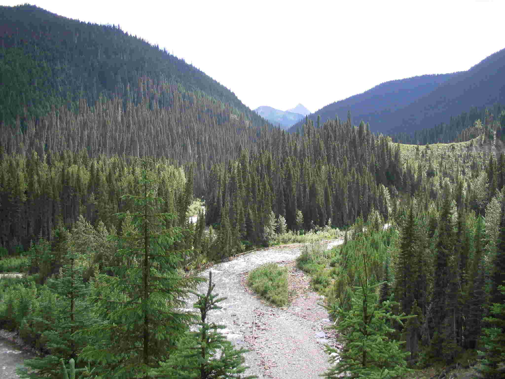
then dropped down to the river at the head of a little canyon and continued
following the riverbank. We did one bit of trail maintenance with the 12"
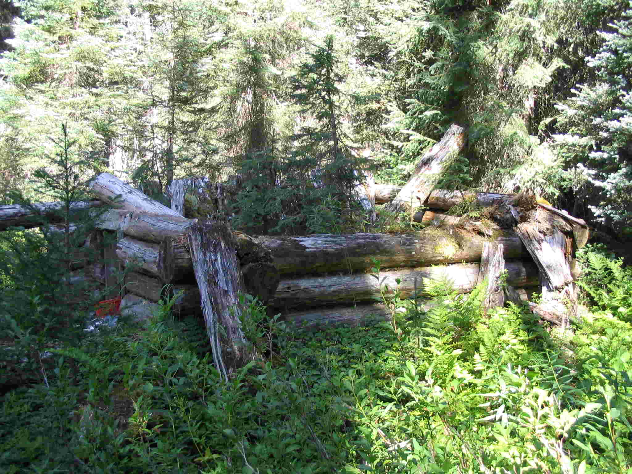
bow saw. We passed the cabin ruins and were
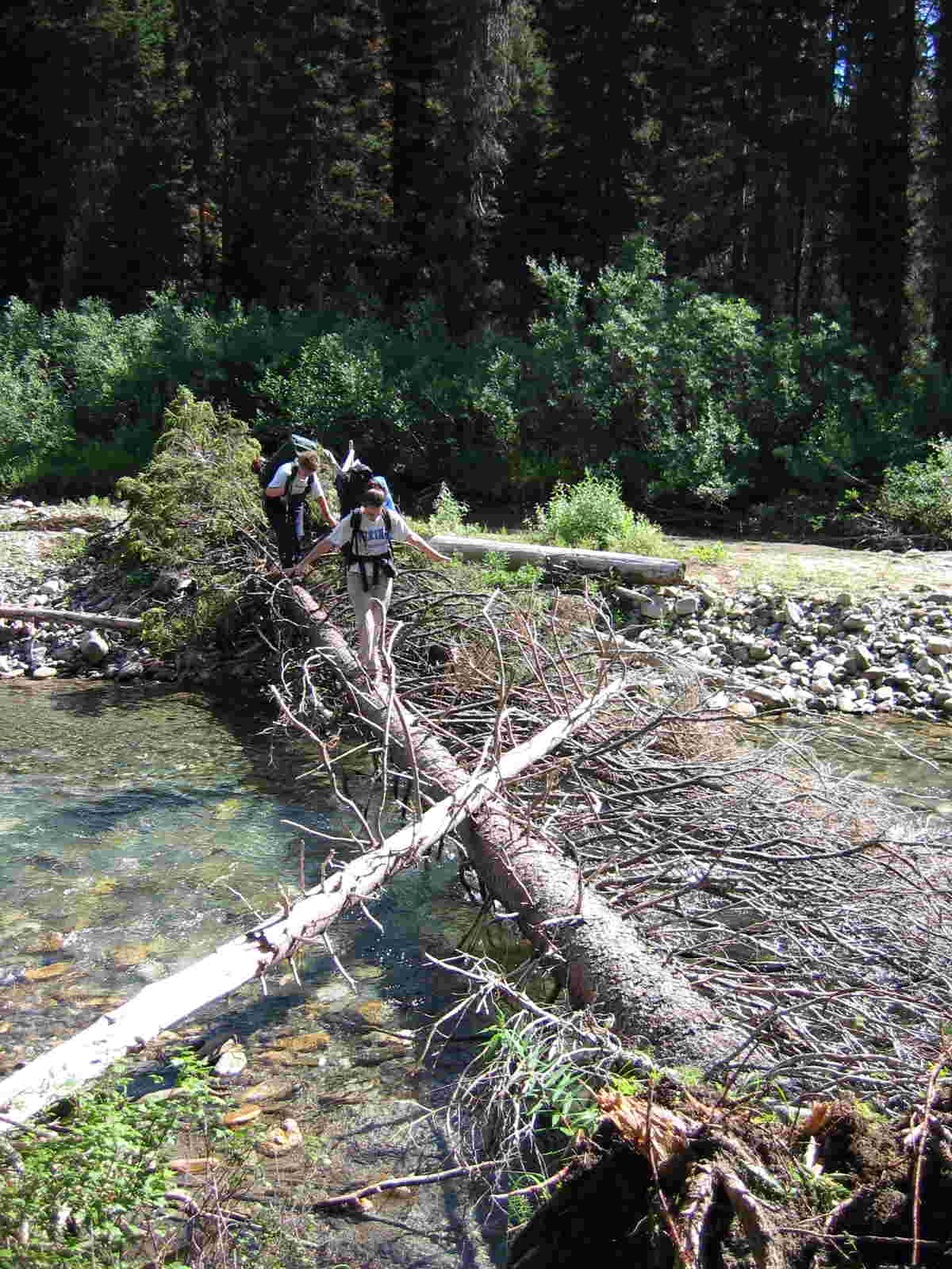
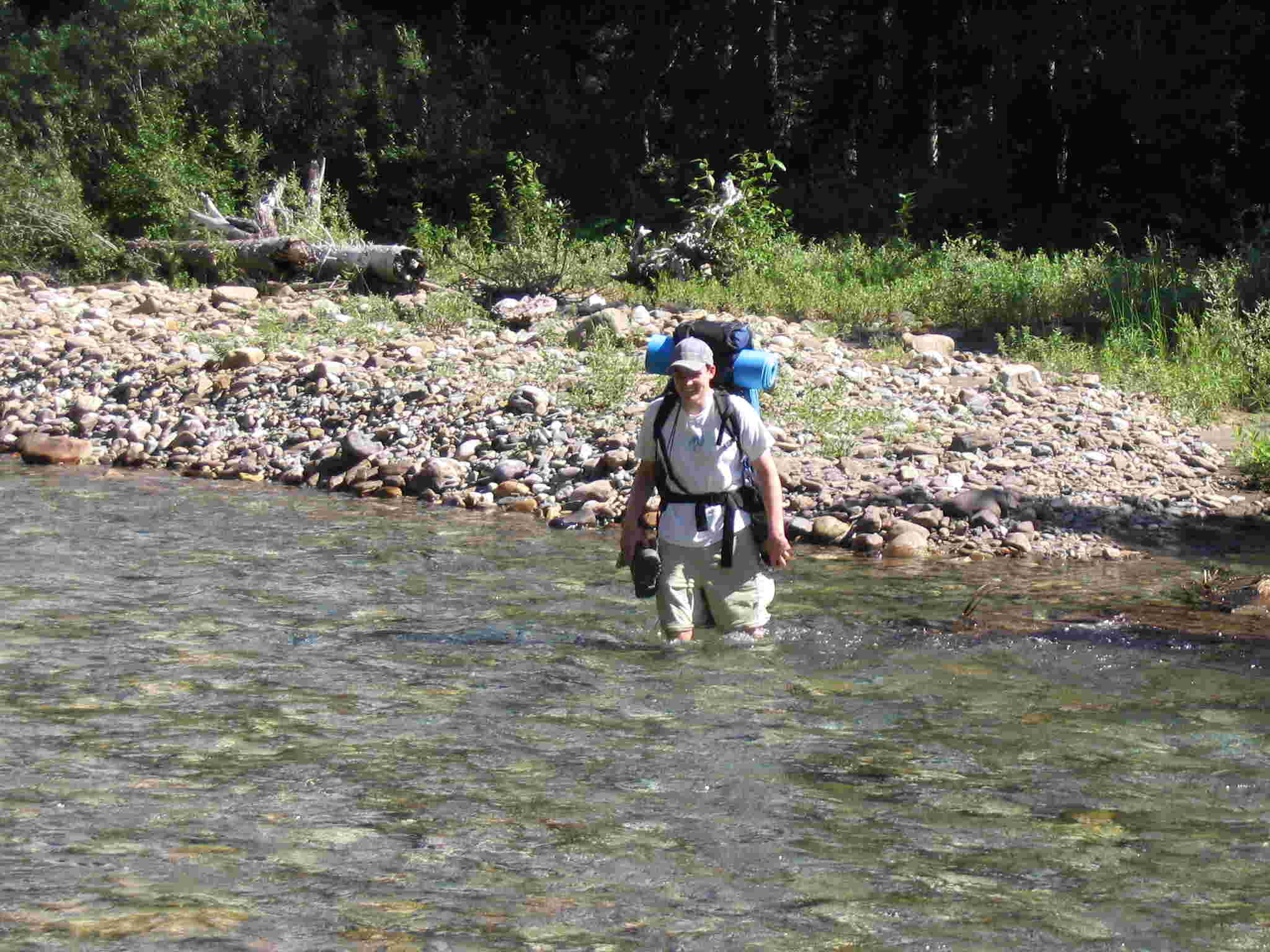
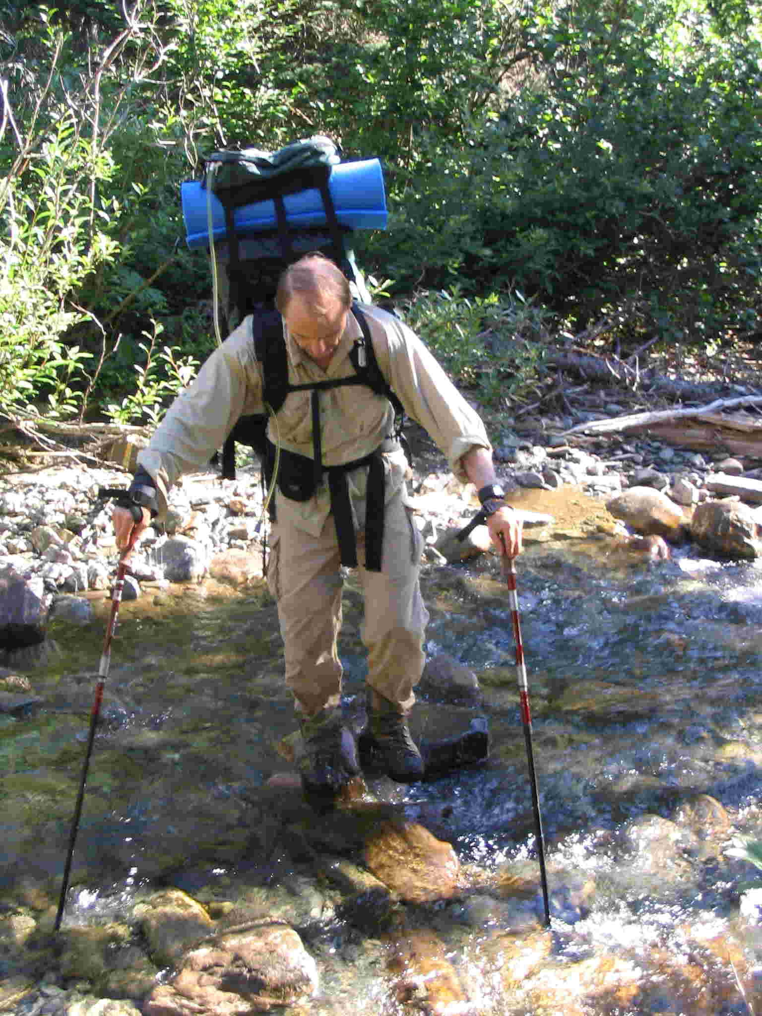
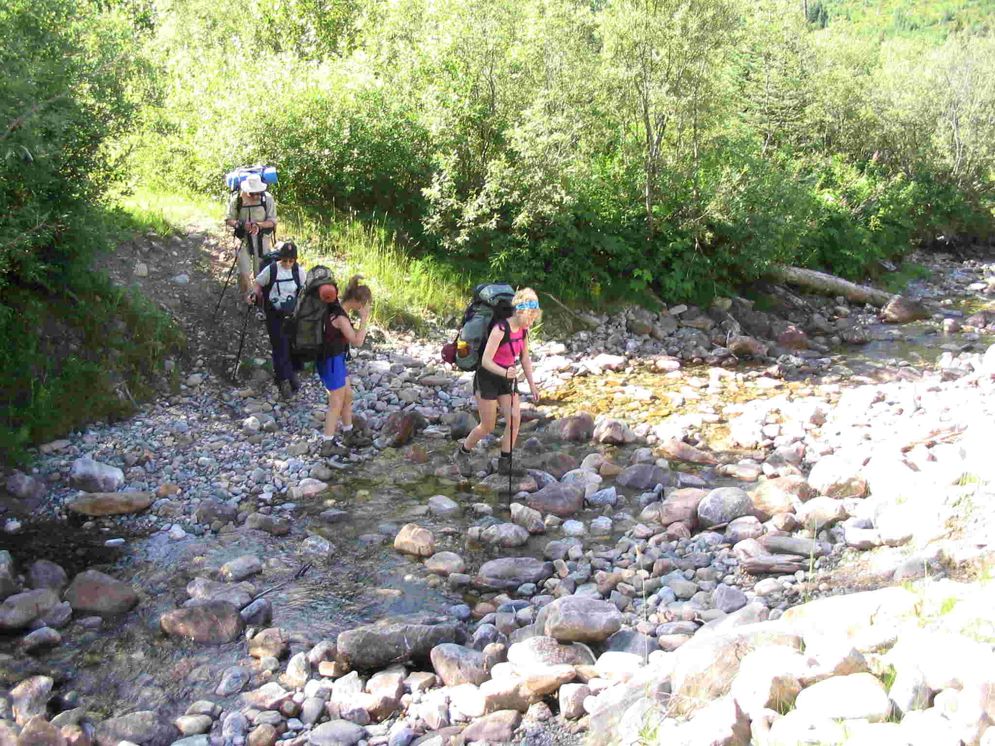
soon at the McLeod creek ford. There was a deadfall
across the creek that some people took and others forded the creek. The water level
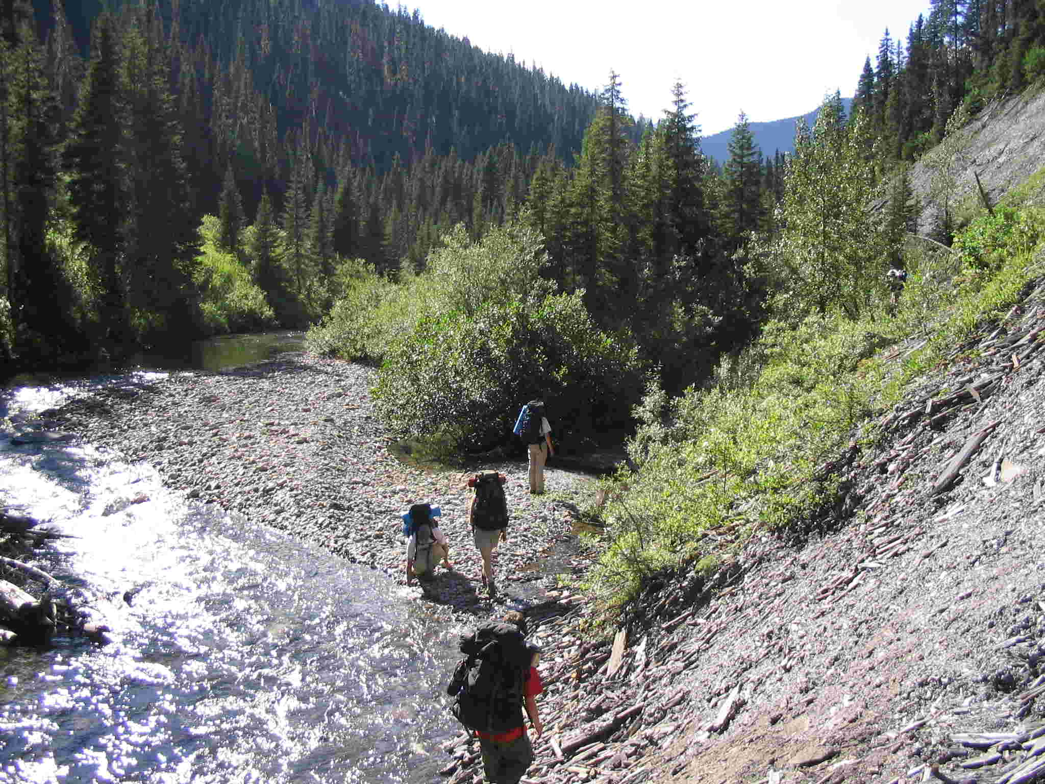
was low and the crossing was quite comfortable. We had lunch on the gravel bar by the ford
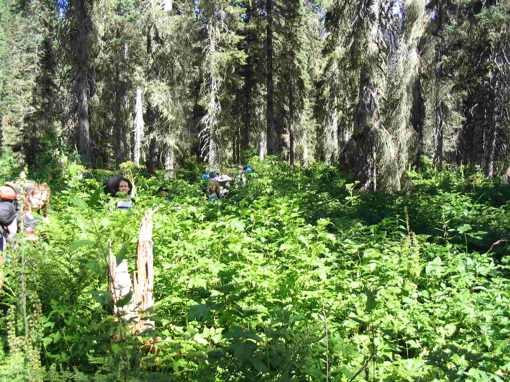
(great spot). The trail then started to get quite difficult. We found the trail really overgrown and this stretch took a
long time to travel. We had a rest at
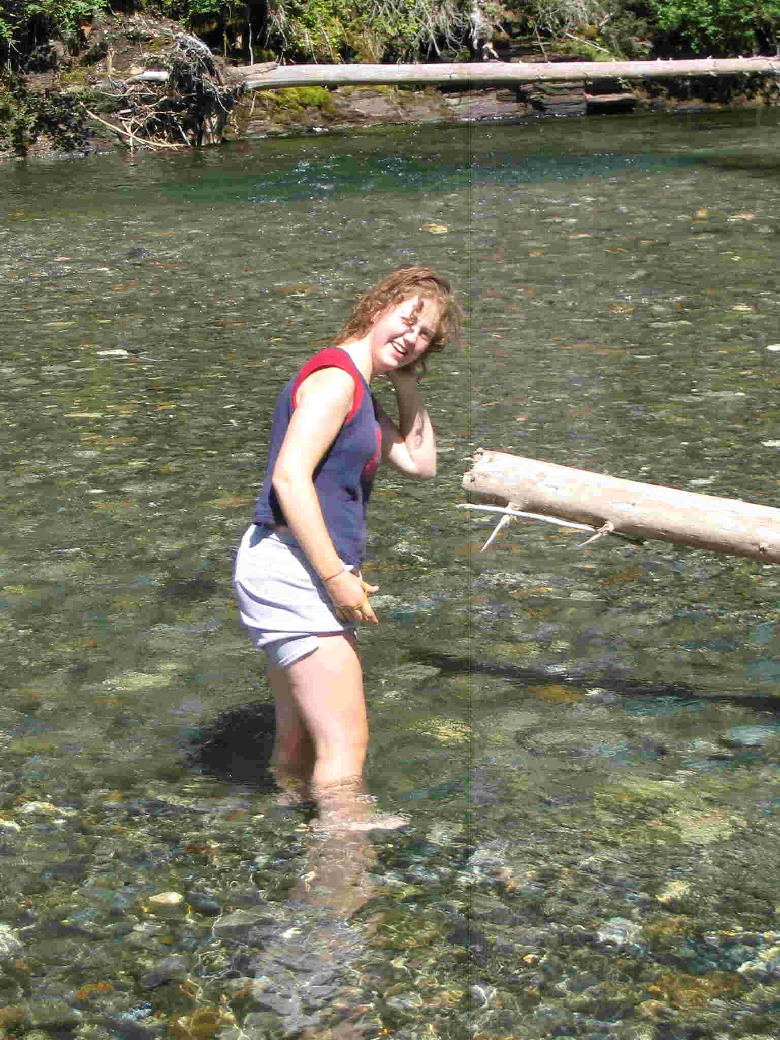
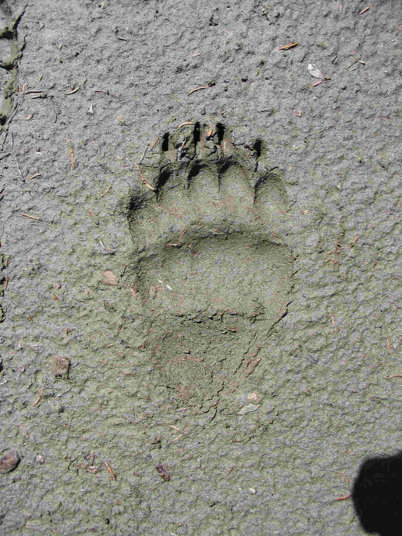
the second gravel bar campsite and quite enjoyed the soak in the river. In the sand, we
spotted a track of a grizzly bear (compare
to Rachael boot and close-up). Back hiking again, we continued along the
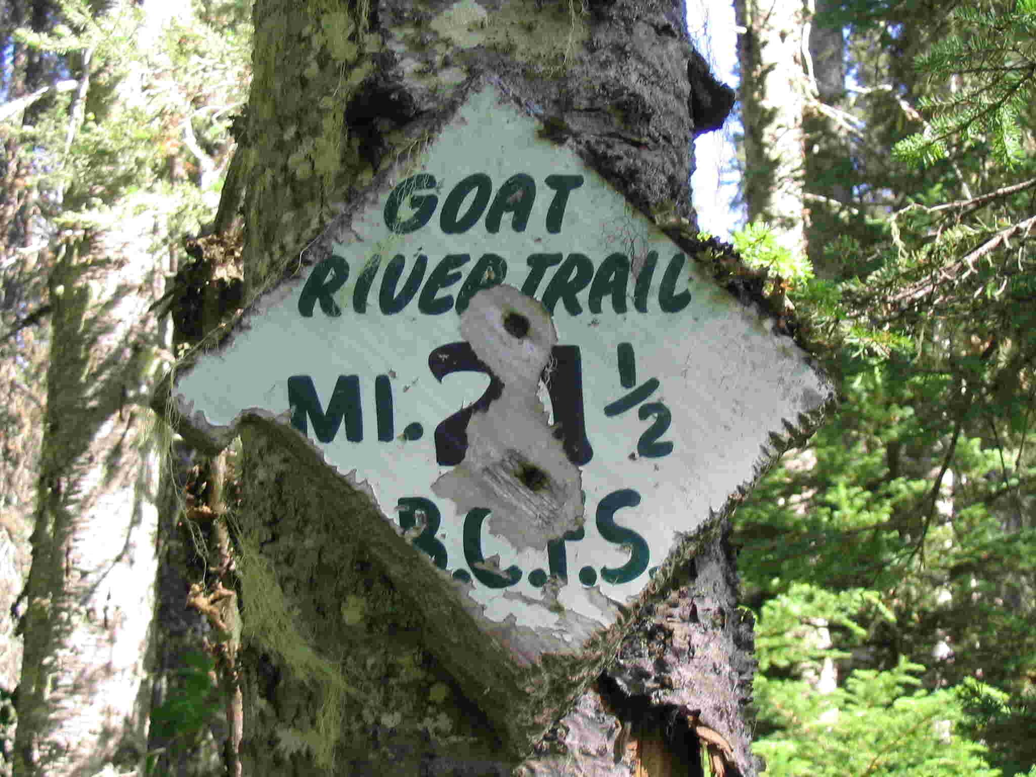
long side hill passing the 21.5 mile BCFS
marker. There was an unmentioned
section where you traverse beside a shale bank along
the river. After what seemed like a
long time, we finally hit the 1st and then the 2nd
mentioned avalanche slope in the early evening. At the west end of the 2nd
slope, there was double marker indicating the camp but we could not find the
trail down to the river. We checked a little further ahead but no sign. Back at
the double marker, we finally saw one marker on the back side of a tree and
start down the west side of the avalanche
slope. Because of the sun's position and being tired, we did not see the
marker for the entrance to the trees and ended up bushwhacking right to the
river. Then we bushwhacked upstream to a gravel bar intending to camp there
anyway. It turned out to be the campsite
we were looking for. Yahoo!! A
quick supper was cooked and tents put up. We used the existing bear pole and
everyone went to sleep early. It was tough day as we were on the trail for 9
hours.
On Day 3, we followed the trail from the
campsite up the hillside. It turns out that the trail entered the forest about
half way down the avalanche slope and we discovered a double marker on a tree.
We just missed it the night before. The trail then continued along a bench
before dropping down some nice switchbacks to the
river. Just before the next ford, Barrie in front, saw some movement across the
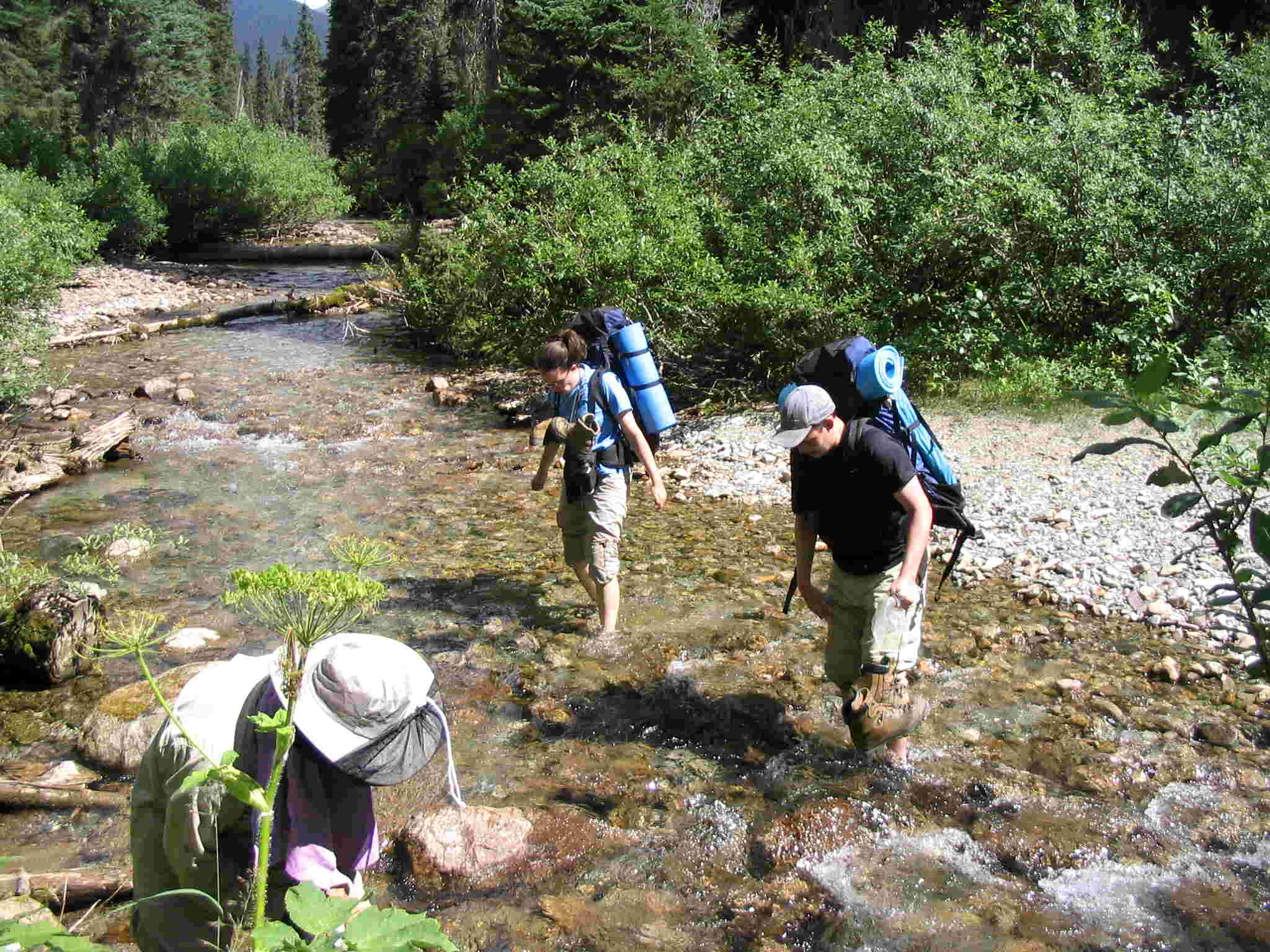
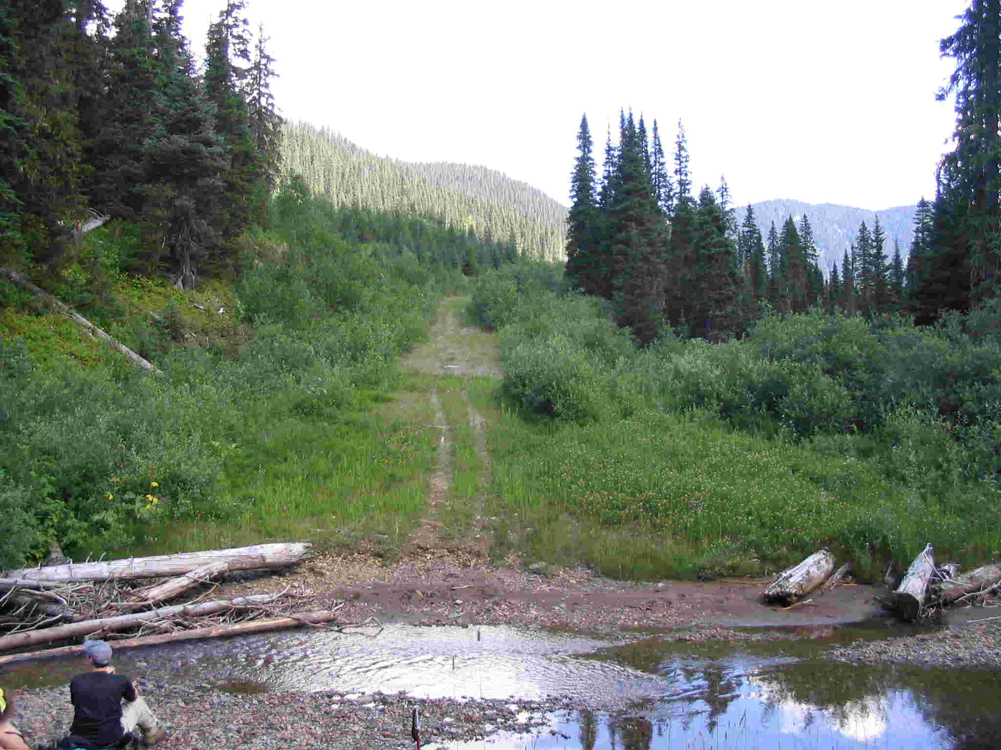
Goat river and saw a mid sized grizzly bear. Then we had the ford of Summit creek and worked around the
beaver dams. At this point, the trail turns away from the upper Goat river and headed to Wolverine pass. We
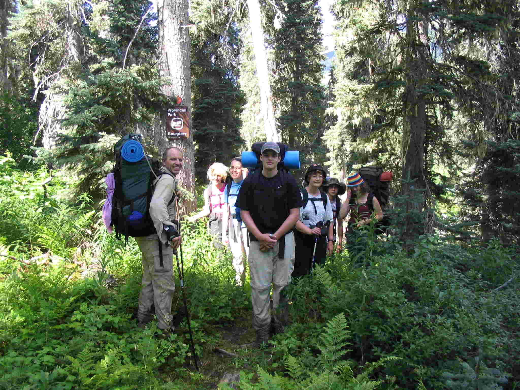
continued through better trail and hiked past a dried out pond. At the park
boundary, stopped for a picture and continue
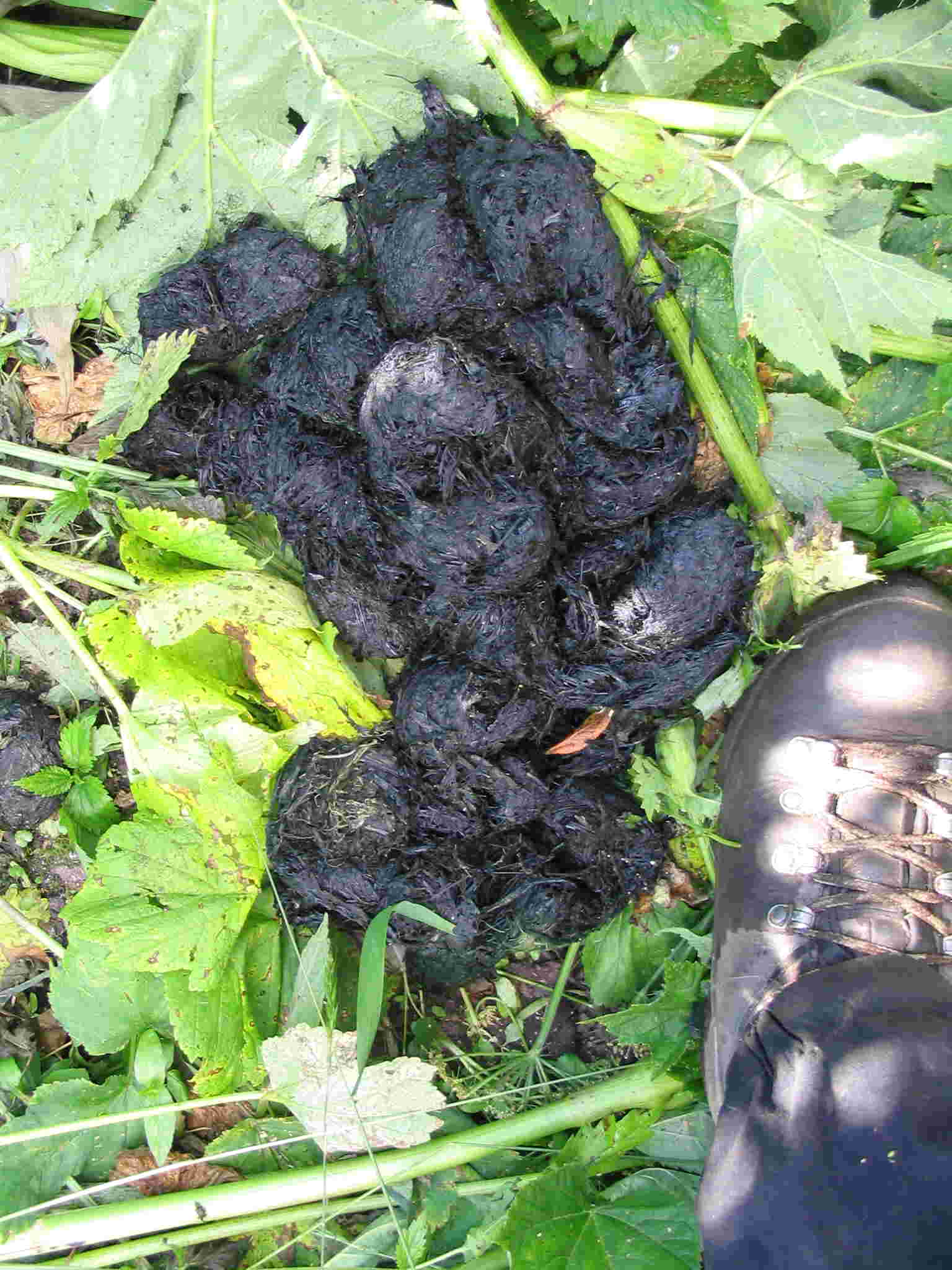
to the big slide. In the middle of the big slide we spotted some disturded
areas by the trail and then a couple of huge grizzly scat’s (one as compared to Rachael’s boot).
Although oldish, the second one had a sheen of moisture on it. Extra noise was
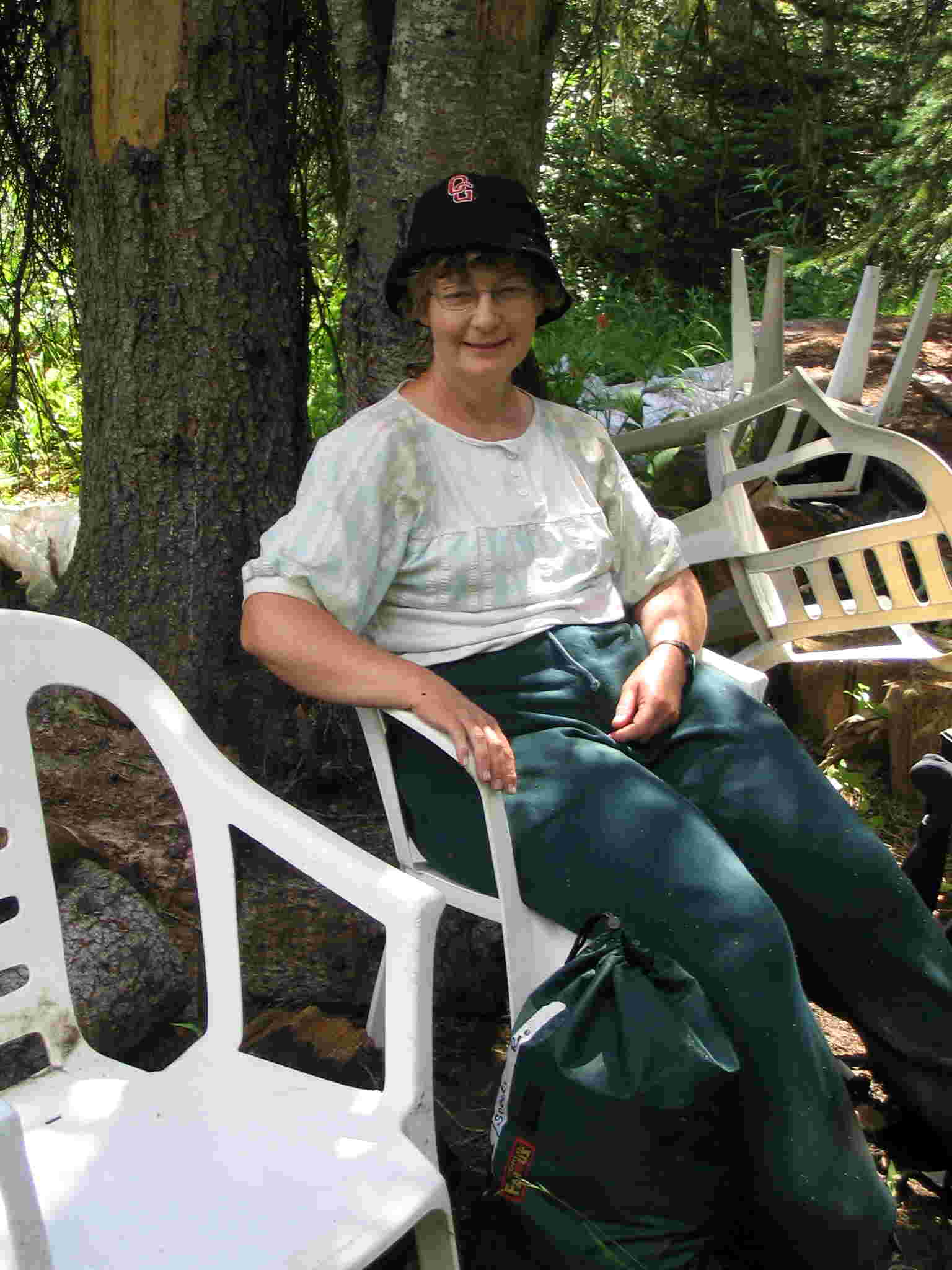
made through this section until Cushman’s camp. We had lunch here enjoying the white plastic chairs. Then on to Wolverine ford and Istsi
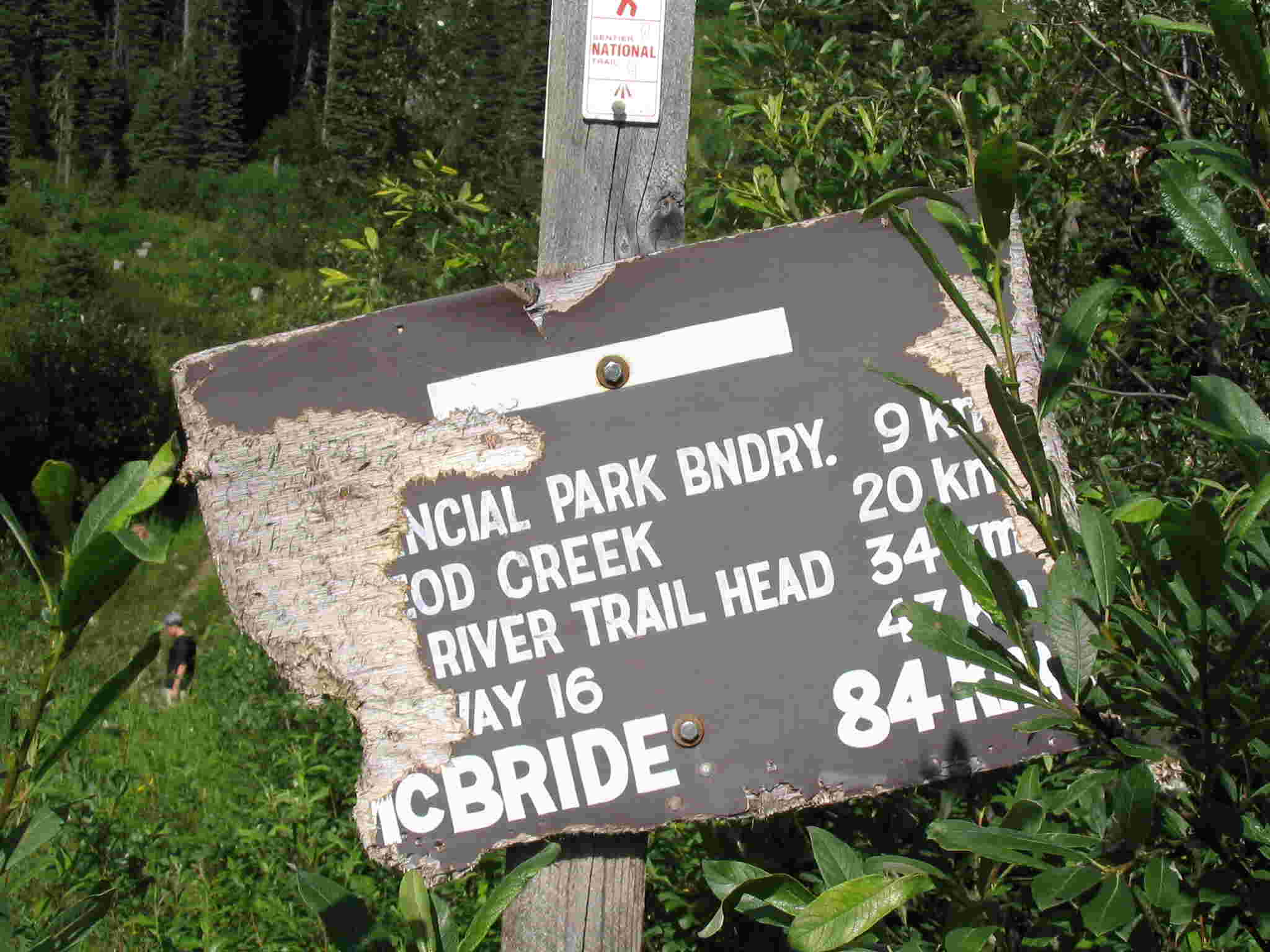
ford. Just past the Istsi ford, we saw what looked like a historical marker and then the trail climbed
up to the logging blocks. After a little confusion about where the trail went,
we found the markers on the deactivated logging road and followed it to Rockbed
creek. The road was fairly grown over and at times travel was tiresome. Near
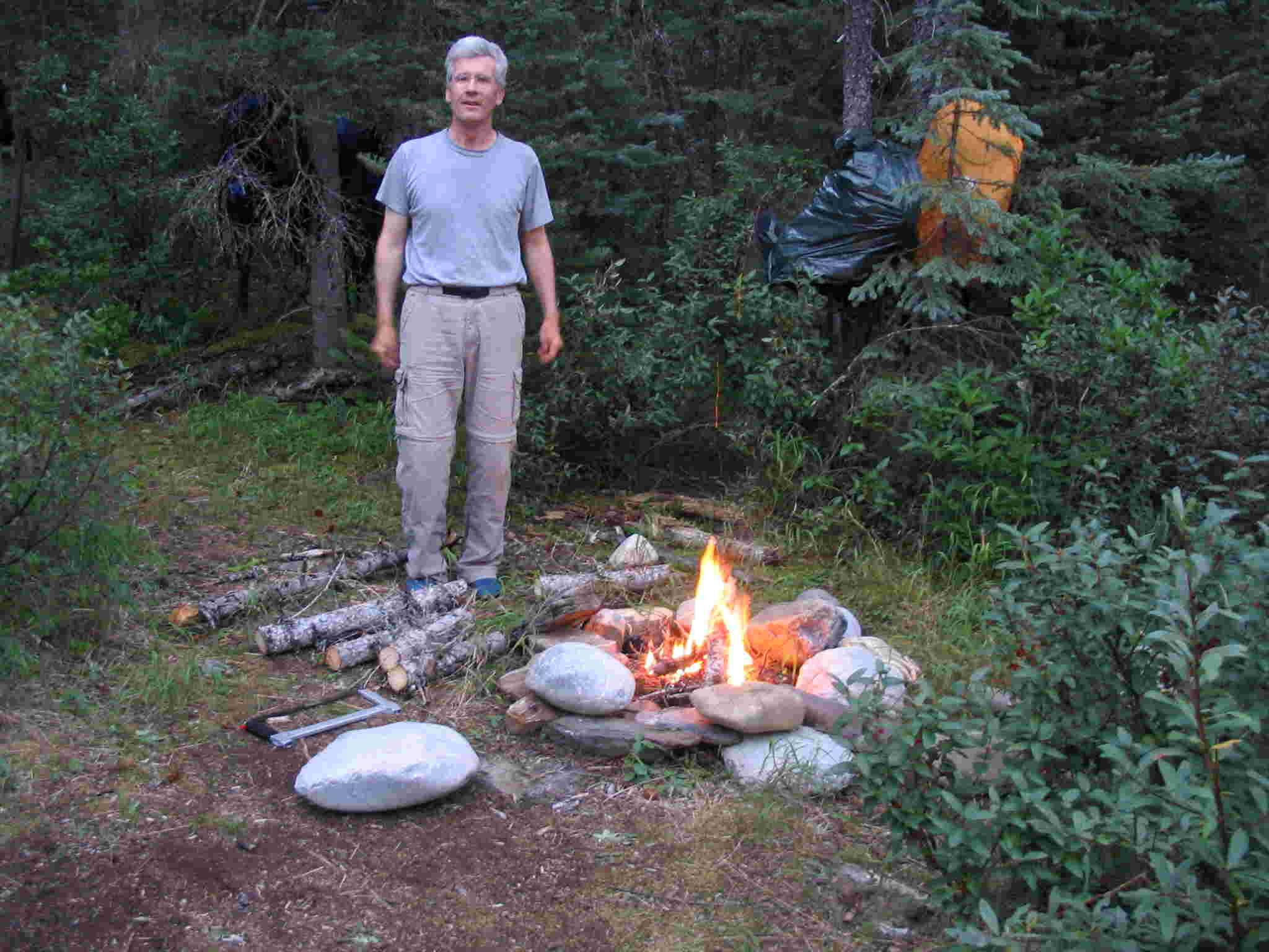
Rockbed, there was a cairn and a good marker at one junction. At the campsite,
we set up the tents by the fire pit. After a soaking
in the creek, we cooked and set up the food cache on the other side of creek
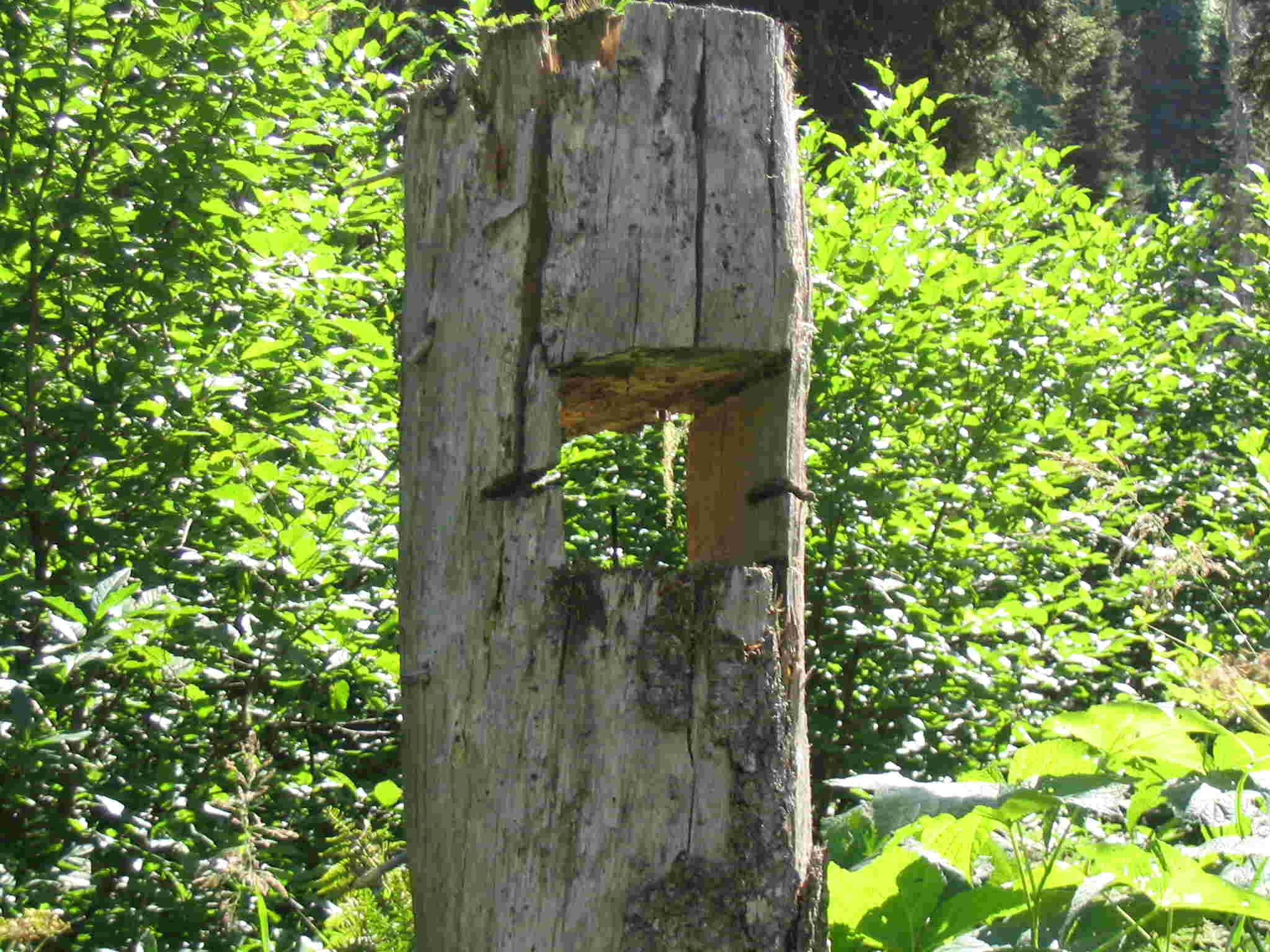
in a clearing. There was an interesting
sign on the west side of the creek. At six o’clock, we had an unexpected
sighting of the Canada Snowbirds as they flew a couple of thousand feet over
our heads. They were going from their air show at Williams Lake to their next
show at Prince George. After supper, we had a big card game and then bed.
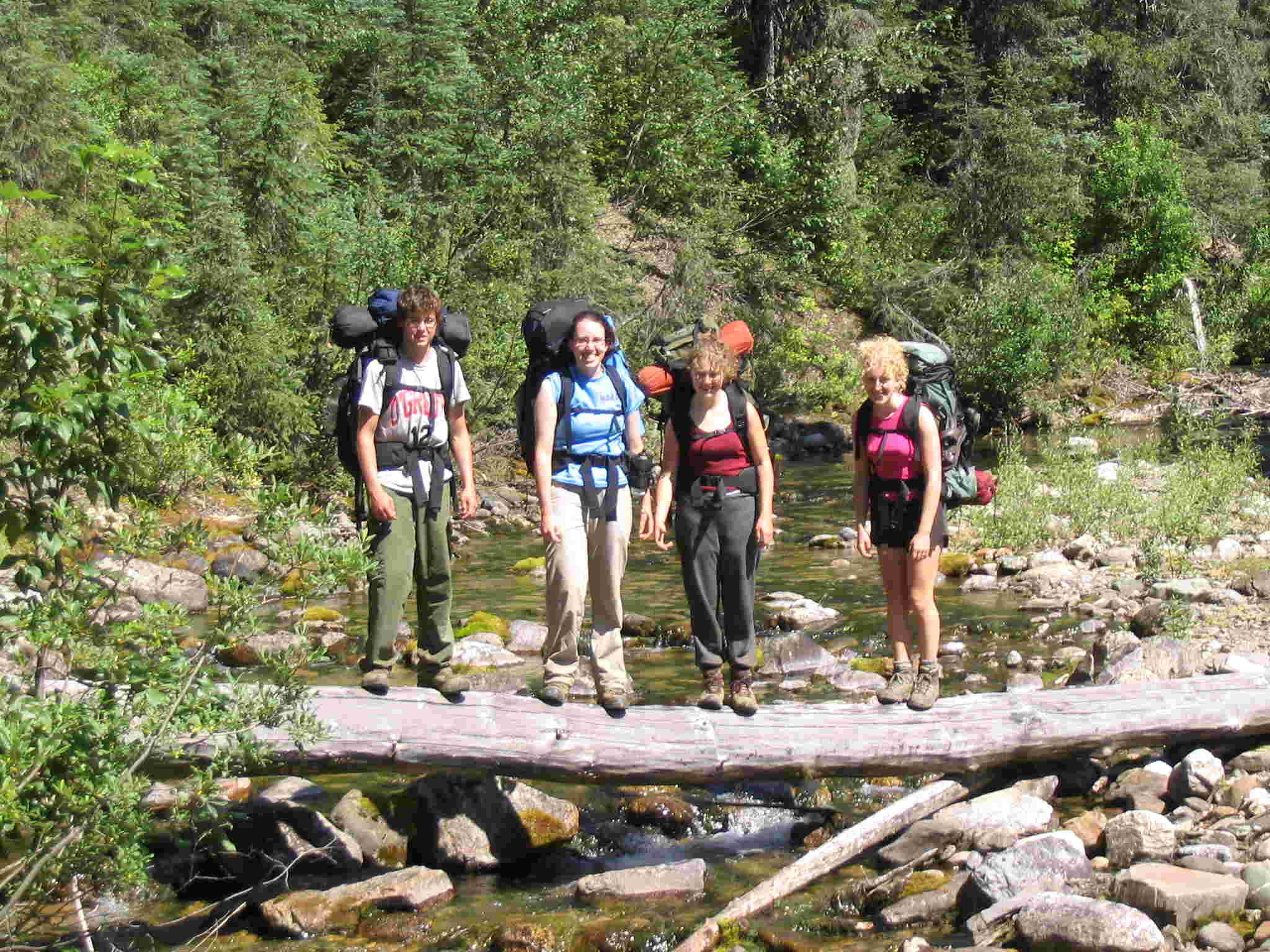
After a group
photo the next morning (day 4), we followed the logging road around the
hillside to Littlefield pass We had a couple of good views of Isaac Lake. After the pass, had the first ford of Littlefield creek and
walked by the corrals. The trip now is just a hike down the forest service
road. Had a rest at the second
Littlefield creek ford and lunch after the third Littlefield creek ford. About 30 minutes before the 4th
and last Littlefield creek ford, we met Bob and son Peter hiking towards us.
They had brought the van to pick us up.
After crossing the footbridge at the 4th ford, it was time for a
treat - cold beer and pop. A final picture was taken and the
trip was done. We had 4 days of perfect weather (30 degree days with limited
cloud) and the water levels were low.
With rain and high water, the difficulty and character of the trail
would change considerably.